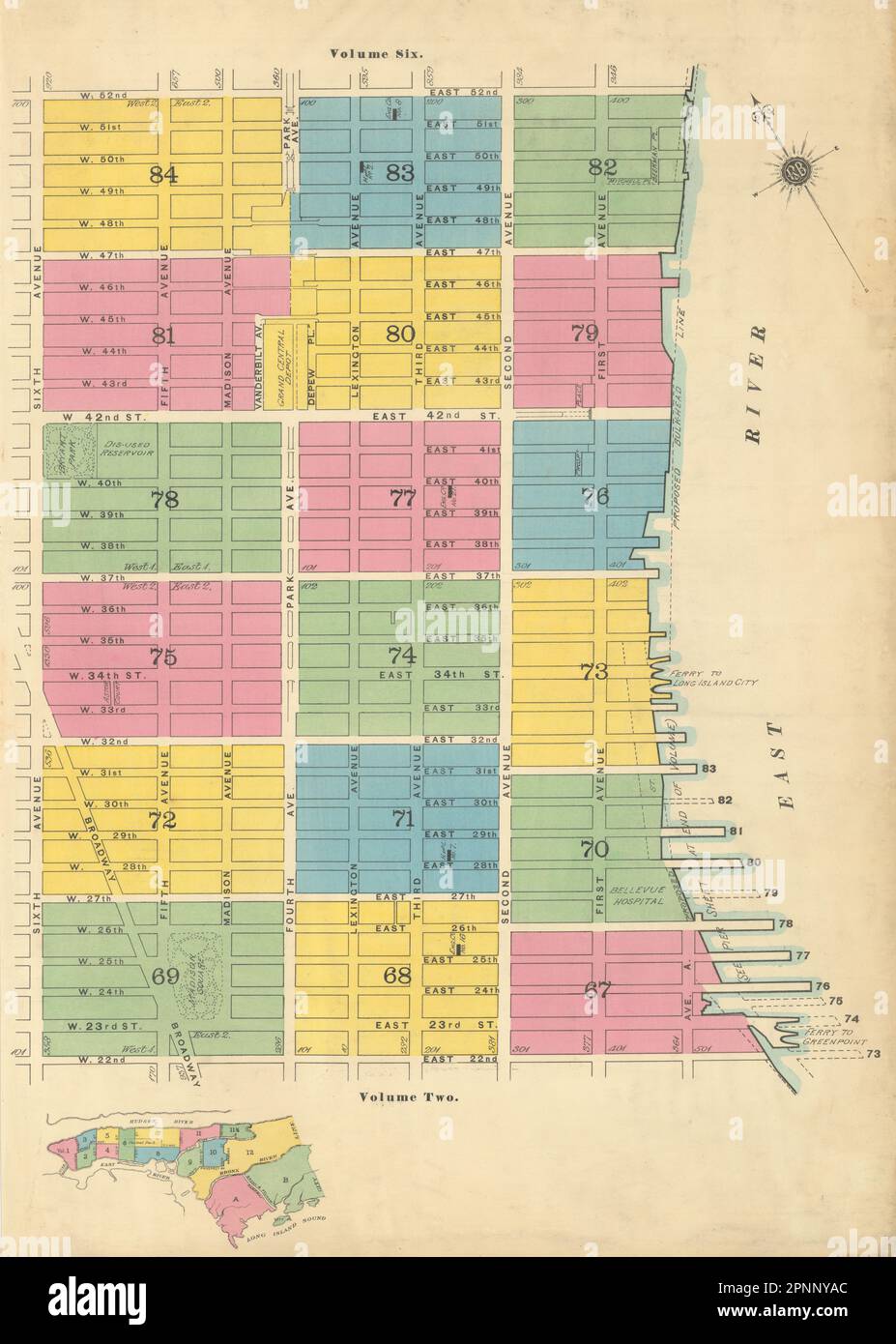
Sanborn NYC Vol 4 Key map Manhattan Midtown East Murray Hill Kips Bay NoMad 1899

RFID:Image ID:2PNNYAC
Image details
Contributor:
Antiqua Print Gallery / Alamy Stock PhotoImage ID:
2PNNYACFile size:
115.4 MB (4.6 MB Compressed download)Releases:
Model - no | Property - noDo I need a release?Dimensions:
5363 x 7518 px | 45.4 x 63.7 cm | 17.9 x 25.1 inches | 300dpiDate taken:
1899Location:
New YorkMore information:
This image could have imperfections as it’s either historical or reportage.
[Sanborn Fire Insurance New York City Volume 4 - Key plan - Manhattan Midtown East - 22nd Street to 52nd Street and Sixth Avenue to the East River]. Artist/engraver/cartographer: Sanborn-Perris Map Co. Limited. Provenance: "Insurance Maps of the City of New York (Borough of Manhattan) - Volume 4", surveyed and published by Sanborn-Perris Map Co. Limited, 11 Broadway. Type: Antique lithographed, linen-backed, fire insurance key map with original color.