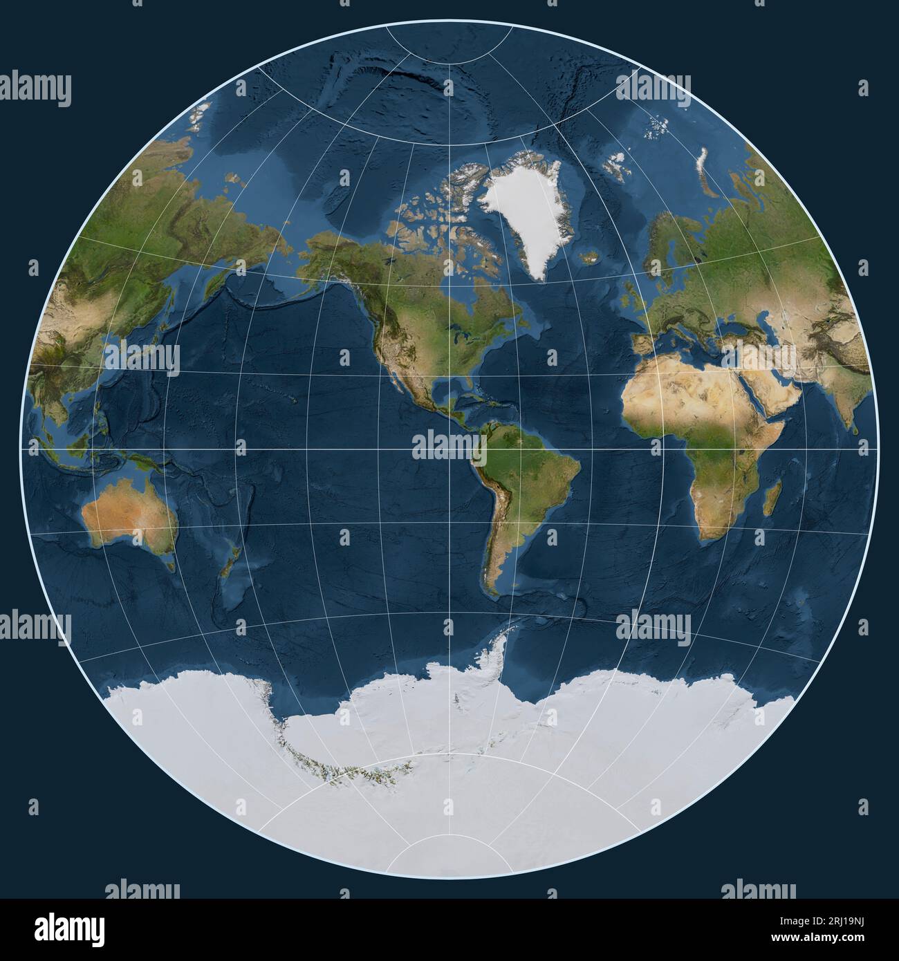
Satellite map of the world in the van der Grinten I projection centered on the meridian -90 west longitude
RFID:Image ID:2RJ19NJ
Image details
Contributor:
Yarr65 / Alamy Stock PhotoImage ID:
2RJ19NJFile size:
94.9 MB (2.8 MB Compressed download)Releases:
Model - no | Property - noDo I need a release?Dimensions:
5760 x 5760 px | 48.8 x 48.8 cm | 19.2 x 19.2 inches | 300dpi