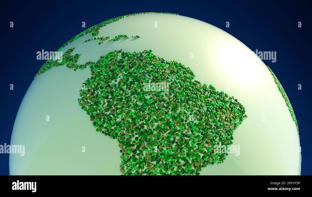
Satellite view of the Amazon rainforest, map, states of South America. Forest deforestation. Climate change and global warming. Abstract map, circles

RFID:Image ID:2F61F5P
Image details
Contributor:
Naeblys / Alamy Stock PhotoImage ID:
2F61F5PFile size:
37.4 MB (1,008.5 KB Compressed download)Releases:
Model - no | Property - noDo I need a release?Dimensions:
4822 x 2712 px | 40.8 x 23 cm | 16.1 x 9 inches | 300dpiDate taken:
29 March 2021