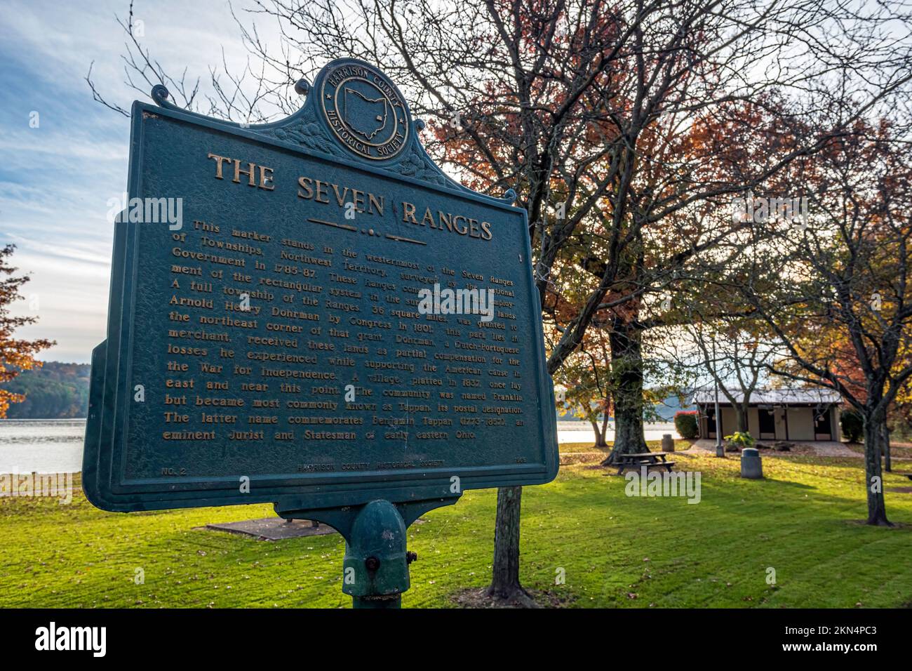
Scio, Ohio, USA- Oct. 24, 2022: Historical marker for westernmost point of The Seven Ranges, the first land surveyed in Ohio following the 1763 Treat

RFID:Image ID:2KN4PC3
Image details
Contributor:
Jackie Nix / Alamy Stock PhotoImage ID:
2KN4PC3File size:
59.1 MB (3.6 MB Compressed download)Releases:
Model - no | Property - noDo I need a release?Dimensions:
5568 x 3712 px | 47.1 x 31.4 cm | 18.6 x 12.4 inches | 300dpiDate taken:
24 October 2022Location:
Scio, OhioMore information:
Scio, Ohio, USA- Oct. 24, 2022: Historical marker for westernmost point of The Seven Ranges, the first land surveyed in Ohio following the 1763 Treaty of Paris. In 1785 the land was formally opened for white settlement.