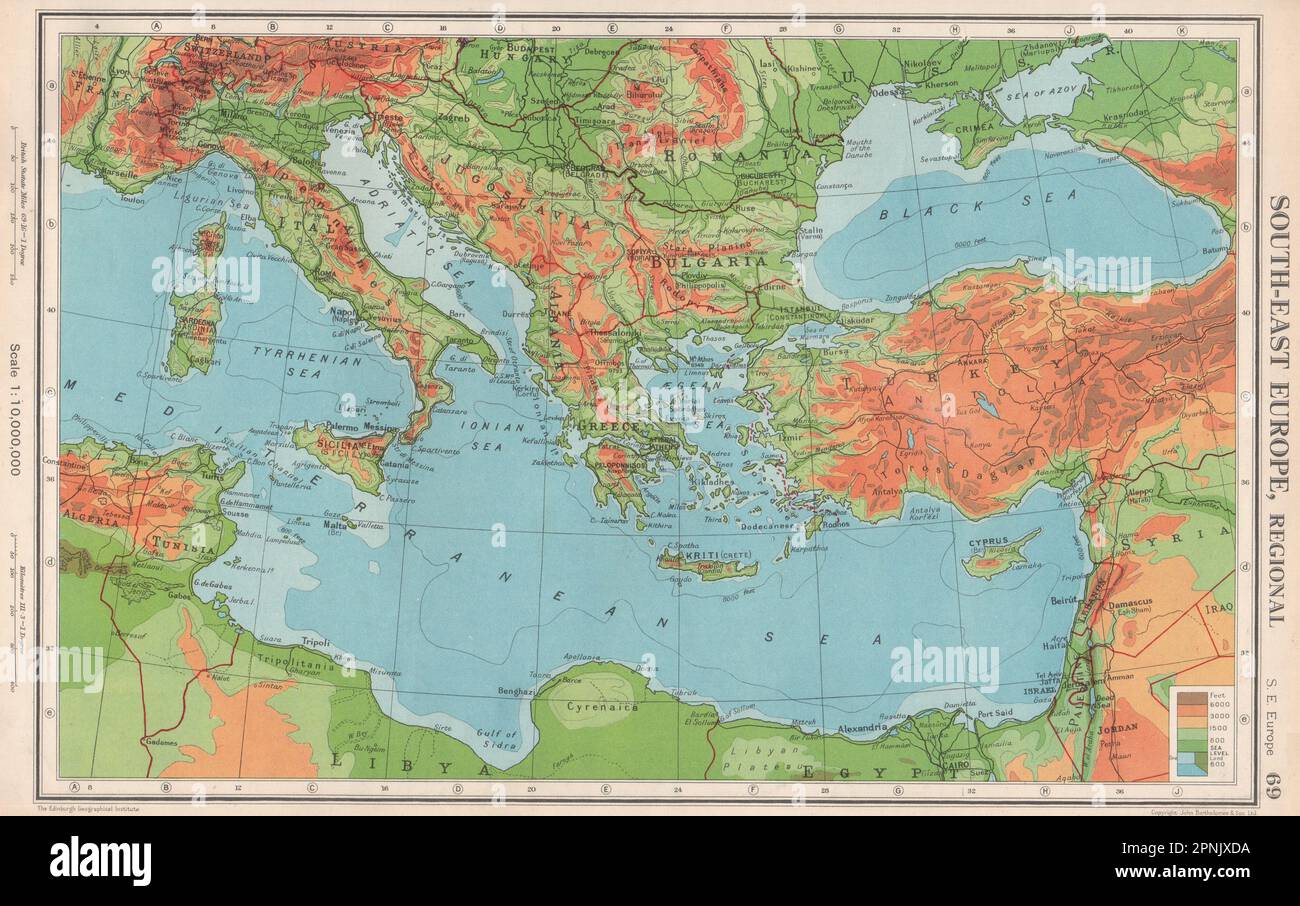
SE EUROPE.Pre Osimo Treaty. Free Territory of Trieste Zone B is Italian 1952 map

Image details
Contributor:
Antiqua Print Gallery / Alamy Stock PhotoImage ID:
2PNJXDAFile size:
29.2 MB (2.2 MB Compressed download)Releases:
Model - no | Property - noDo I need a release?Dimensions:
4035 x 2533 px | 34.2 x 21.4 cm | 13.5 x 8.4 inches | 300dpiDate taken:
1952Location:
EuropeMore information:
This image could have imperfections as it’s either historical or reportage.
South-East Europe, Regional . Artist/engraver/cartographer: John Bartholomew . Provenance: "The Citizen's Atlas of the World"; by John Bartholomew; Published by John Bartholomew & Son limited, Edinburgh; 10th Edition. Type: Vintage colour map; Scale 1:10, 000, 000. The Free Territory of Trieste (Italian: Territorio libero di Trieste, Slovene: Svobodno tržaško ozemlje; Croatian: Slobodni teritorij Trsta; Triestine and Istrian: Teritorio Libero de Trieste) was an independent territory situated in Central Europe between northern Italy and Yugoslavia, facing the North part of the Adriatic Sea, under direct responsibility of the United Nations Security Council in the aftermath of World War II.The Free Territory was established on 10 February 1947 by a protocol of the Treaty of Peace with Italy in order to accommodate an ethnically and culturally mixed population in a neutral independent country. The intention was also to cool down territorial claims between Italy and Yugoslavia, due to its strategic importance for trade with Central Europe. It came into existence on 15 September 1947. Its administration was divided into two areas: one being the port city of Trieste with a narrow coastal strip to the north west (Zone A); the other, larger (Zone B) was formed by a small portion of the north-western part of the Istrian peninsula.The Free Territory was de facto split and taken over by its two neighbours in 1954 and this was formalized much later by the bilateral Treaty of Osimo of 1975, ratified in 1977.