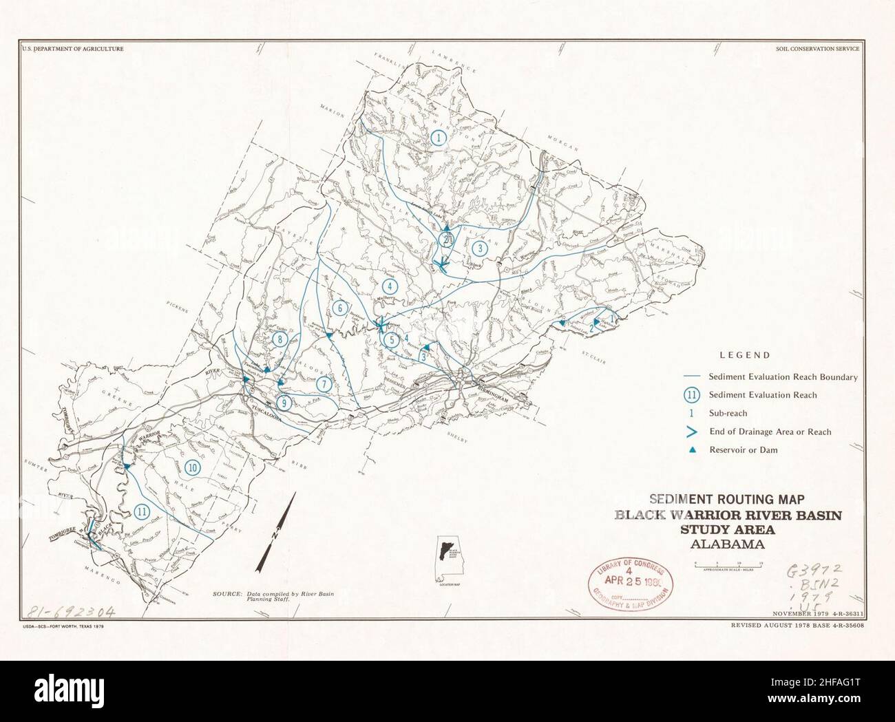
Sediment routing map, Black Warrior River basin study area, Alabama
RMID:Image ID:2HFAG1T
Image details
Contributor:
Danvis Collection / Alamy Stock PhotoImage ID:
2HFAG1TFile size:
5.7 MB (248.1 KB Compressed download)Releases:
Model - no | Property - noDo I need a release?Dimensions:
1646 x 1215 px | 27.9 x 20.6 cm | 11 x 8.1 inches | 150dpiMore information:
This image could have imperfections as it’s either historical or reportage.