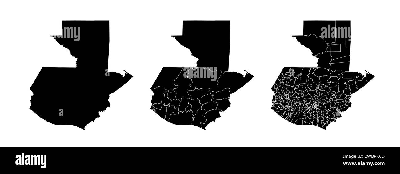
Set of state maps of Guatemala with regions and municipalities division. Department borders, isolated vector maps on white background.
RFID:Image ID:2WBPK6D
Image details
Contributor:
Kostiantyn Levin / Alamy Stock VectorImage ID:
2WBPK6DReleases:
Model - no | Property - noDo I need a release?Date created:
10 January 2024