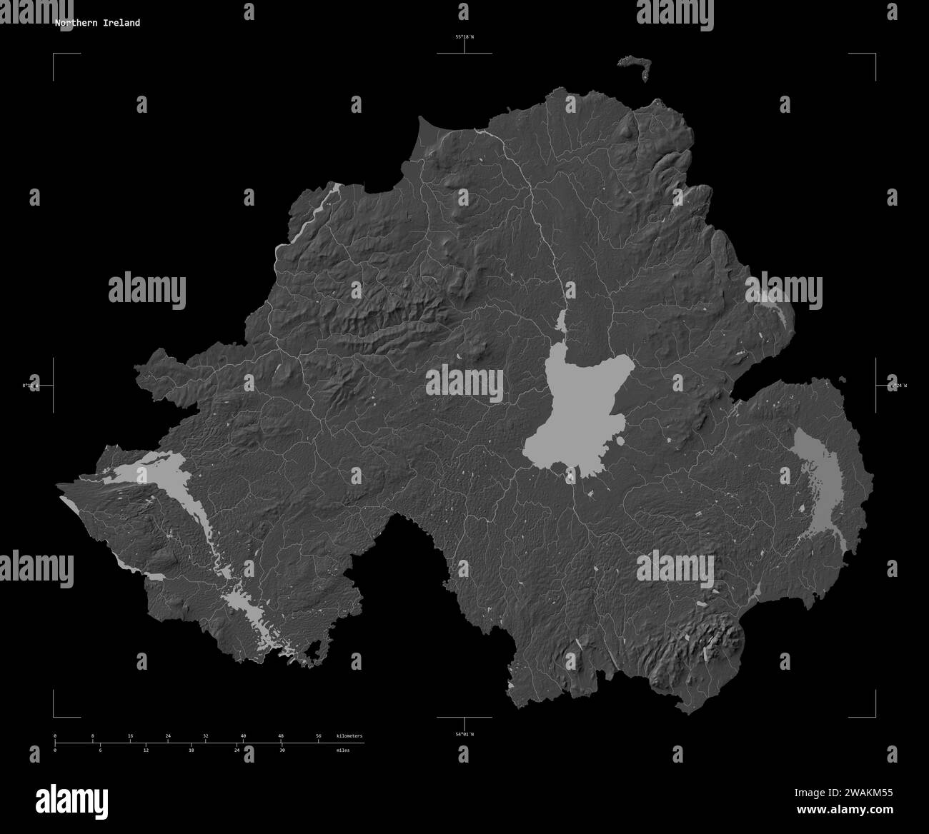
Shape of a Bilevel elevation map with lakes and rivers of the Northern Ireland, with distance scale and map border coordinates, isolated on black
RFID:Image ID:2WAKM55
Image details
Contributor:
zelwanka / Alamy Stock PhotoImage ID:
2WAKM55File size:
60.8 MB (1.3 MB Compressed download)Releases:
Model - no | Property - noDo I need a release?Dimensions:
5062 x 4200 px | 42.9 x 35.6 cm | 16.9 x 14 inches | 300dpiLocation:
UK Northern Ireland