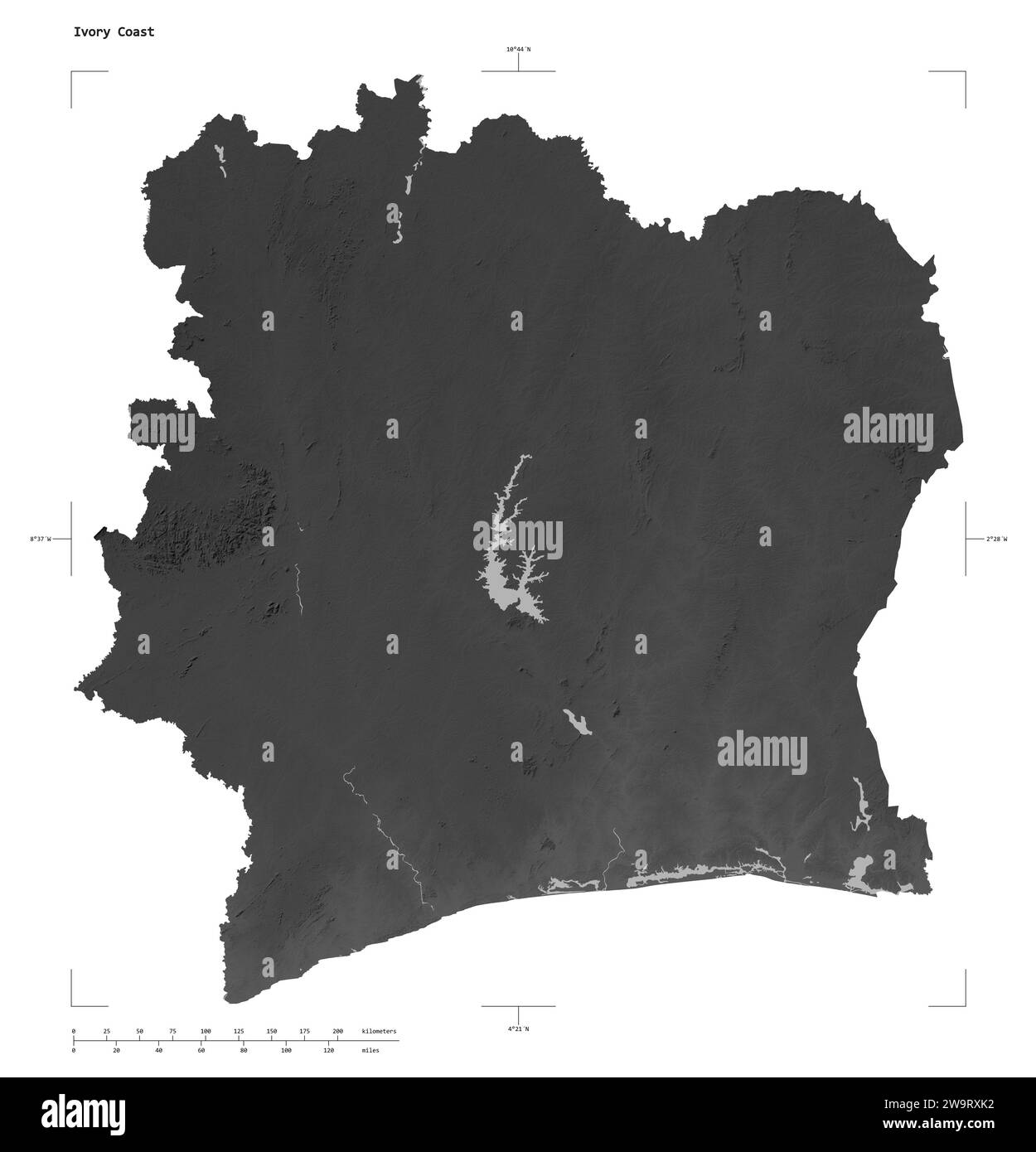
Shape of a Grayscale elevation map with lakes and rivers of the Ivory Coast, with distance scale and map border coordinates, isolated on white
RFID:Image ID:2W9RXK2
Image details
Contributor:
Danuta Zelwan / Alamy Stock PhotoImage ID:
2W9RXK2File size:
53 MB (797 KB Compressed download)Releases:
Model - no | Property - noDo I need a release?Dimensions:
4223 x 4389 px | 35.8 x 37.2 cm | 14.1 x 14.6 inches | 300dpiLocation:
Cote-dIvoire