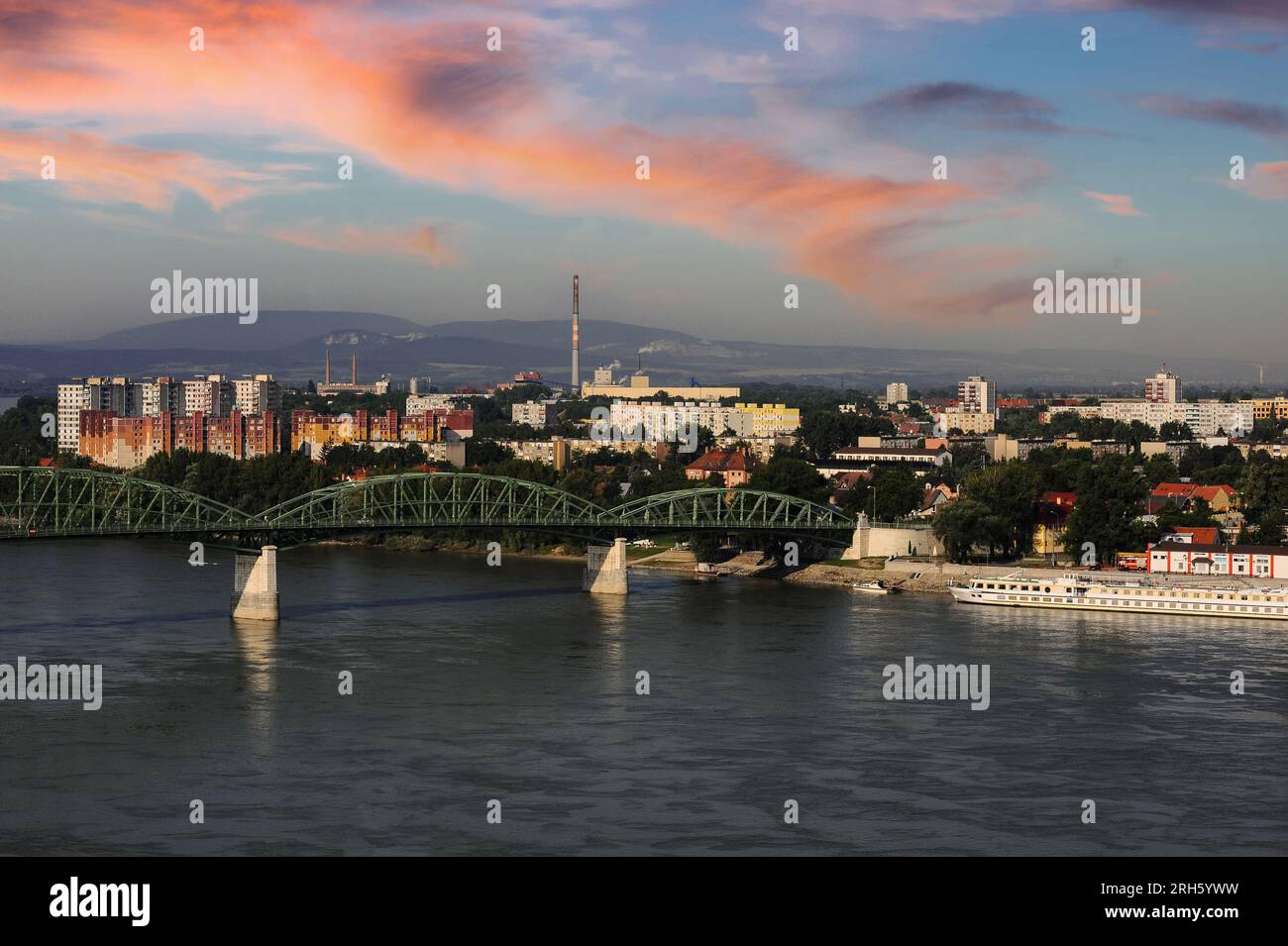
Slovakian town of Štúrovo and late 19th century Mária Valéria Bridge, viewed from Hungarian side of River Danube.

Image details
Contributor:
Terence Kerr / Alamy Stock PhotoImage ID:
2RH5YWWFile size:
34.5 MB (1.5 MB Compressed download)Releases:
Model - no | Property - noDo I need a release?Dimensions:
4256 x 2832 px | 36 x 24 cm | 14.2 x 9.4 inches | 300dpiDate taken:
18 July 2007Location:
Štúrovo, Slovak RepublicMore information:
This image could have imperfections as it’s either historical or reportage.
Štúrovo, Slovak Republic: viewed from the Hungarian bank of the River Danube. Štúrovo, previously named Parkan, is a small town opposite the Hungarian city of Ezstergom. The late 19th century Mária Valéria Bridge, seen in this image, named after Archduchess Marie Valerie of Austria (1868-1924) and designed by János Feketeházy (1842 - 1927), spans the River Danube and connects the two settlements of Štúrovo and Ezstergom. After World War II, Parkan became part of Czechoslovakia again (as it had been after World War I) and was renamed Štúrovo in 1948. The postwar period saw a major pulp and paper processing plant opened in the town, the Juhoslovenské celulózky a papierne (South Slovakian Pulpwood and Paper Works) in 1968. On 1 January 1993, Czechoslovakia separated peacefully into two new countries, the Czech Republic and Slovakia. D1360.B8119