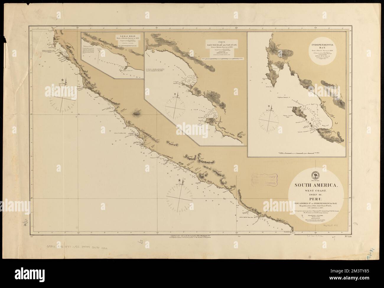
South America, west coast, sheet XII, Peru, Pescadores Pt. to Independencia Bay : republication of Brit. Admty. chart no. 1279, with additions to 1877 , Coasts, Peru, Maps, Nautical charts, Peru, Ica Department, Nautical charts, Peru, Arequipa Department, Ica Peru : Department, Maps, Arequipa Peru : Department, Maps, Lomas Arequipa, Peru, Maps, San Nicolas Peru, Maps, San Juan Peru, Maps, Independencia Bay Peru, Maps Norman B. Leventhal Map Center Collection
RMID:Image ID:2M3TY85
Image details
Contributor:
piemags/DCM / Alamy Stock PhotoImage ID:
2M3TY85File size:
99.7 MB (2.7 MB Compressed download)Releases:
Model - no | Property - noDo I need a release?Dimensions:
7140 x 4882 px | 60.5 x 41.3 cm | 23.8 x 16.3 inches | 300dpiMore information:
This image is a public domain image, which means either that copyright has expired in the image or the copyright holder has waived their copyright. Alamy charges you a fee for access to the high resolution copy of the image.
This image could have imperfections as it’s either historical or reportage.