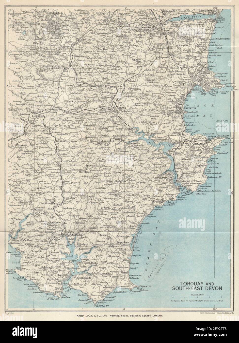
SOUTH HAMS & TORBAY Paignton Brixham Totnes Salcombe Kingsbridge. Devon 1950 map

RFID:Image ID:2E92TT8
Image details
Contributor:
Antiqua Print Gallery / Alamy Stock PhotoImage ID:
2E92TT8File size:
33.7 MB (2.7 MB Compressed download)Releases:
Model - no | Property - noDo I need a release?Dimensions:
2968 x 3973 px | 25.1 x 33.6 cm | 9.9 x 13.2 inches | 300dpiDate taken:
1950Location:
DevonMore information:
This image could have imperfections as it’s either historical or reportage.
Torquay and South-East Devon. Artist/engraver/cartographer: Ward Lock & Co. Provenance: Ward Lock Red Guides. Type: Vintage colour tourist map. Places marked on the map include: Torbay Paignton Brixham Totnes Salcombe Kingsbridge