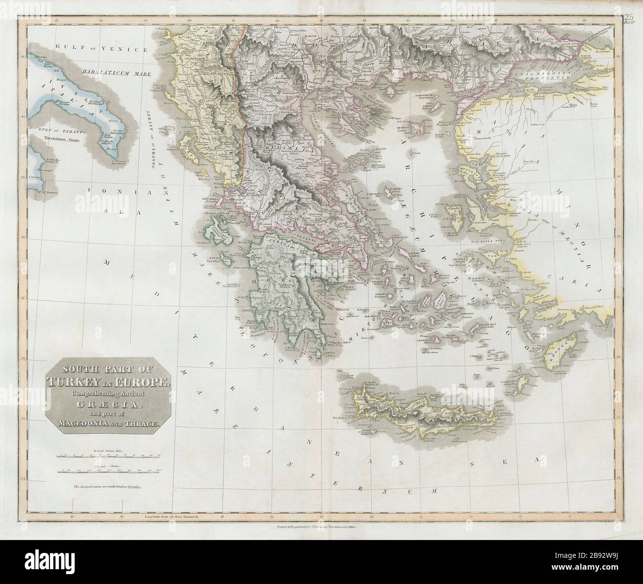
South Part of Turkey in Europe. Greece & Aegean. Albania. THOMSON 1830 old map

Image details
Contributor:
Antiqua Print Gallery / Alamy Stock PhotoImage ID:
2B92W9JFile size:
134.8 MB (5.7 MB Compressed download)Releases:
Model - no | Property - noDo I need a release?Dimensions:
7487 x 6292 px | 63.4 x 53.3 cm | 25 x 21 inches | 300dpiDate taken:
1830Location:
GreeceMore information:
This image could have imperfections as it’s either historical or reportage.
South Part of Turkey in Europe comprehending Ancient Graecia, and part of Macedonia and Thrace. Artist/engraver/cartographer: Drawn & engraved for John Thomson's "New General Atlas". Provenance: "A new general atlas", consisting of a series of geographical designs, on various projections, exhibiting the form and component parts of the globe; and a collection of maps and charts, delineating the natural and political divisions of the Empires, Kingdoms, and States in the World", Edinburgh: Printed by George Ramsay and Company, for John Thomson and Company, Edinburgh; Baldwin, Cradock, and Joy, London; and John Cumming, Dublin [Thomson's New General Atlas]. Type: Antique early 19th century atlas map with original hand colouring.