···
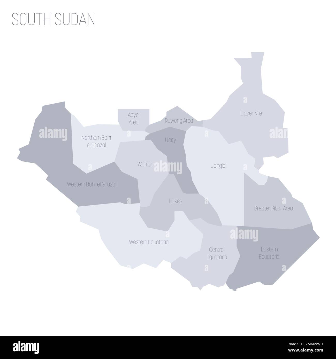
South Sudan political map of administrative divisions - states, administrative areas and area with special administrative status. Grey vector map with labels. Image details More information:
South Sudan political map of administrative divisions - states, administrative areas and area with special administrative status. Grey vector map with labels.
Search stock photos by tags
Similar stock vectors Ethiopia administrative and political map Stock Vector https://www.alamy.com/image-license-details/?v=1 https://www.alamy.com/ethiopia-administrative-and-political-map-image247521480.html RF TAKG4T – Ethiopia administrative and political map A contour map of South Sudan. Vector graphic illustration on a transparent background with black country's borders Stock Vector https://www.alamy.com/image-license-details/?v=1 https://www.alamy.com/a-contour-map-of-south-sudan-vector-graphic-illustration-on-a-transparent-background-with-black-countrys-borders-image631455975.html RF 2YK98F3 – A contour map of South Sudan. Vector graphic illustration on a transparent background with black country's borders Juba, Republic of South Sudan. Detailed Country Map with Location Pin on Capital City. Black silhouette and outline maps isolated on white background Stock Vector https://www.alamy.com/image-license-details/?v=1 https://www.alamy.com/juba-republic-of-south-sudan-detailed-country-map-with-location-pin-on-capital-city-black-silhouette-and-outline-maps-isolated-on-white-background-image367442977.html RF 2C9PD7D – Juba, Republic of South Sudan. Detailed Country Map with Location Pin on Capital City. Black silhouette and outline maps isolated on white background Republic of South Sudan location on Africa map Stock Vector https://www.alamy.com/image-license-details/?v=1 https://www.alamy.com/republic-of-south-sudan-location-on-africa-map-image345513411.html RF 2B23DTK – Republic of South Sudan location on Africa map Locator map showing the location of the country South Sudan in Africa. The country is highlighted with a red polygon. Small countries are also marked Stock Vector https://www.alamy.com/image-license-details/?v=1 https://www.alamy.com/locator-map-showing-the-location-of-the-country-south-sudan-in-africa-the-country-is-highlighted-with-a-red-polygon-small-countries-are-also-marked-image611587593.html RF 2XF0661 – Locator map showing the location of the country South Sudan in Africa. The country is highlighted with a red polygon. Small countries are also marked Africa colorful vector map. Political version usable for travel marketing, real estate and education. Stock Vector https://www.alamy.com/image-license-details/?v=1 https://www.alamy.com/stock-photo-africa-colorful-vector-map-political-version-usable-for-travel-marketing-177576941.html RF M8W95H – Africa colorful vector map. Political version usable for travel marketing, real estate and education. Political map of Africa agaist white background. Every state is selectable separate Stock Vector https://www.alamy.com/image-license-details/?v=1 https://www.alamy.com/political-map-of-africa-agaist-white-background-every-state-is-selectable-separate-image365779668.html RF 2C72KKG – Political map of Africa agaist white background. Every state is selectable separate South Sudan set of three maps - solid map, outline map and map highlighting administrative divisions. Three distinct maps illustrate various representations of a geographical area. Stock Vector https://www.alamy.com/image-license-details/?v=1 https://www.alamy.com/south-sudan-set-of-three-maps-solid-map-outline-map-and-map-highlighting-administrative-divisions-three-distinct-maps-illustrate-various-representations-of-a-geographical-area-image637674613.html RF 2S1CGD9 – South Sudan set of three maps - solid map, outline map and map highlighting administrative divisions. Three distinct maps illustrate various representations of a geographical area. South Sudan country detailed editable map with regions cities and towns, roads and railways, geographic sites. Vector EPS-10 file Stock Vector https://www.alamy.com/image-license-details/?v=1 https://www.alamy.com/south-sudan-country-detailed-editable-map-with-regions-cities-and-towns-roads-and-railways-geographic-sites-vector-eps-10-file-image415192022.html RF 2F3DHJE – South Sudan country detailed editable map with regions cities and towns, roads and railways, geographic sites. Vector EPS-10 file Abstract vector color map of South Sudan Stock Vector https://www.alamy.com/image-license-details/?v=1 https://www.alamy.com/stock-photo-abstract-vector-color-map-of-south-sudan-107802025.html RF G7APG9 – Abstract vector color map of South Sudan Isolated colored map of South Sudan with borders of the regions Stock Vector https://www.alamy.com/image-license-details/?v=1 https://www.alamy.com/isolated-colored-map-of-south-sudan-with-borders-of-the-regions-image555620040.html RF 2R7XK0T – Isolated colored map of South Sudan with borders of the regions Stylized vector South Sudan map showing big cities, capital Juba, administrative divisions. Stock Vector https://www.alamy.com/image-license-details/?v=1 https://www.alamy.com/stylized-vector-south-sudan-map-showing-big-cities-capital-juba-administrative-divisions-image217105601.html RF PH60BD – Stylized vector South Sudan map showing big cities, capital Juba, administrative divisions. Political map of South Sudan Stock Vector https://www.alamy.com/image-license-details/?v=1 https://www.alamy.com/political-map-of-south-sudan-image611979532.html RF 2XFJ23T – Political map of South Sudan 