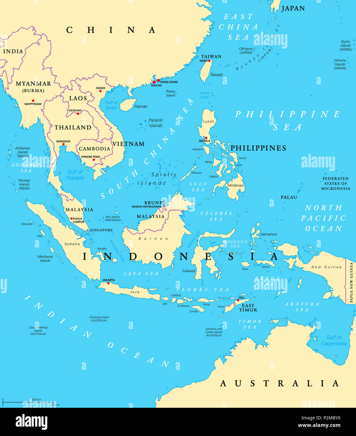
Southeast Asia, political map with capitals and borders. Subregion of Asia. English labeling. Illustration.

RFID:Image ID:P2MBY0
Image details
Contributor:
Peter Hermes Furian / Alamy Stock PhotoImage ID:
P2MBY0File size:
173.8 MB (3 MB Compressed download)Releases:
Model - no | Property - noDo I need a release?Dimensions:
7292 x 8333 px | 61.7 x 70.6 cm | 24.3 x 27.8 inches | 300dpiDate taken:
15 June 2018Location:
Southeast AsiaMore information:
Southeast Asia, political map with capitals and borders. Subregion of Asia with countries south of China, east of India, west of New Guinea, north of Australia. English labeling. Illustration.