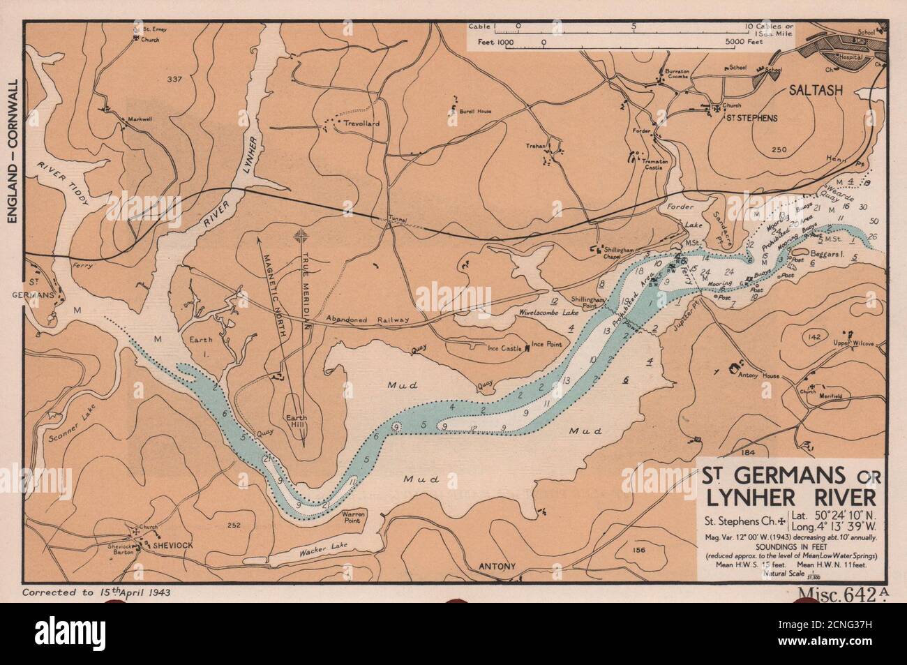
St. Germans or Lynher River. Saltash Cornwall sea coast chart ADMIRALTY 1943 map

RFID:Image ID:2CNG37H
Image details
Contributor:
Antiqua Print Gallery / Alamy Stock PhotoImage ID:
2CNG37HFile size:
13.9 MB (689.3 KB Compressed download)Releases:
Model - no | Property - noDo I need a release?Dimensions:
2700 x 1794 px | 22.9 x 15.2 cm | 9 x 6 inches | 300dpiDate taken:
1943Location:
CornwallMore information:
This image could have imperfections as it’s either historical or reportage.
St. Germans or Lynher River. St. Stephens church. Lat. 50°24' 10" N. Long. 4° 13' 39"W. mag. var. 12° 00' W. (1943) decreasing about 10' annually. Soundings in feet (reduced approx. to the level of Mean Low Water Springs) Mean H.W.S. 15 feet. Mean H.W.N. 11 feet natural scale 1/31, 500. Artist/engraver/cartographer: The British Admiralty. Provenance: "English Channel Handbook": 1st Edition; Published by The Hydrographic Department of the Admiralty. Type: Vintage colour sea chart.