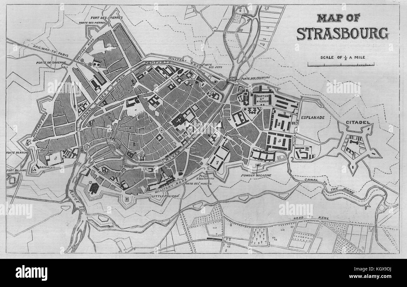
Map of Strasbourg - plan of the city and fortress of Strasbourg. Bas-Rhin 1870. The Illustrated London News
RFID:Image ID:KGX9DJ
Image details
Contributor:
Antiqua Print Gallery / Alamy Stock PhotoImage ID:
KGX9DJFile size:
15.4 MB (653.5 KB Compressed download)Releases:
Model - no | Property - noDo I need a release?Dimensions:
2906 x 1852 px | 24.6 x 15.7 cm | 9.7 x 6.2 inches | 300dpiDate taken:
1870Location:
Bas-RhinMore information:
This image could have imperfections as it’s either historical or reportage.
Map of Strasbourg - plan of the city and fortress of Strasbourg, from The Illustrated London News, 1870. Map of Strasbourg - plan of the city and fortress of Strasbourg. Bas-Rhin, 1870. Bas-Rhin ILN