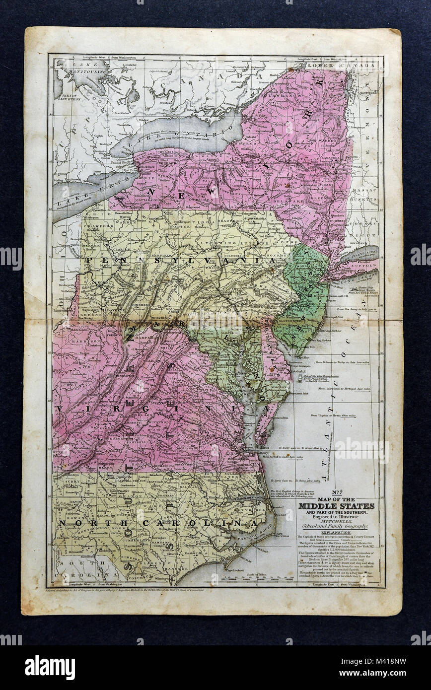
1839 Mitchell Map - Mid-Atlantic States - New York Pennsylvania New Jersey Maryland Delaware Virginia North Carolina Washington DC - United States
RFID:Image ID:M418NW
Image details
Contributor:
Lake Erie Maps and Prints / Alamy Stock PhotoImage ID:
M418NWFile size:
25.1 MB (2.3 MB Compressed download)Releases:
Model - no | Property - noDo I need a release?Dimensions:
2421 x 3624 px | 20.5 x 30.7 cm | 8.1 x 12.1 inches | 300dpiDate taken:
12 February 2018More information:
This image could have imperfections as it’s either historical or reportage.