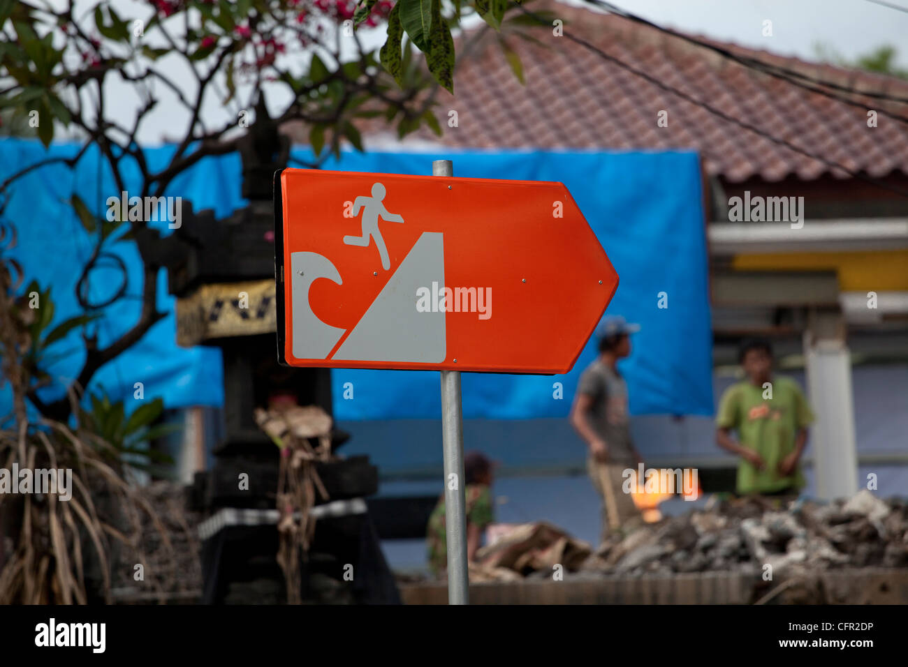
A Tsunami warning sign, Kuta, Bali, South Pacific, Indonesia, Southeast Asia, Asia.

Image details
Contributor:
Thibaut PETIT-BARA / Alamy Stock PhotoImage ID:
CFR2DPFile size:
60.2 MB (1.8 MB Compressed download)Releases:
Model - no | Property - noDo I need a release?Dimensions:
5616 x 3744 px | 47.5 x 31.7 cm | 18.7 x 12.5 inches | 300dpiDate taken:
23 December 2010Location:
Kuta, Bali, South Pacific, Indonesia, Southeast Asia, Asia.More information:
Kuta is administratively a district (kecamatan) and subdistrict/village (kelurahan) in southern Bali, Indonesia. A former fishing village, it was one of the first towns on Bali to see substantial tourist development, and as a beach resort remains one of Indonesia's major tourist destinations. It is known internationally for its long sandy beach, varied accommodation, many restaurants and bars, and many renowned surfers who visit from Australia. It is located near Bali's Ngurah Rai Airport. Kuta was the site of the October 12, 2002 1st Bali bombing (202 killed) and the October 1, 2005 2nd Bali bombing (26 killed). The Balinese Provincial Government have taken the view that the preservation of the Balinese culture, natural resources and wildlife are of primary importance in the development of the island. To this end they have limited tourist development to the peninsula on the extreme southern aspect of the island; Kuta beach is on the western side of this peninsula and Sanur is on the east. To the north of the peninsula no new tourist development is supposedly permitted.[citation needed]. To the south, Kuta Beach extends beyond the airport into Jimbaran. Other nearby towns and villages include Seseh (6.4 nm), Denpasar (4.5 nm), Ujung (1.8 nm), Pesanggaran (2.0 nm), Kedonganan (2.9 nm) and Tuban (1.0 nm).