aerial view Holme Fen The Great Fen Project
Image details
Contributor:
David Wootton / Alamy Stock PhotoImage ID:
BGMN77File size:
48.3 MB (1.8 MB Compressed download)Releases:
Model - no | Property - noDo I need a release?Dimensions:
5044 x 3350 px | 42.7 x 28.4 cm | 16.8 x 11.2 inches | 300dpiDate taken:
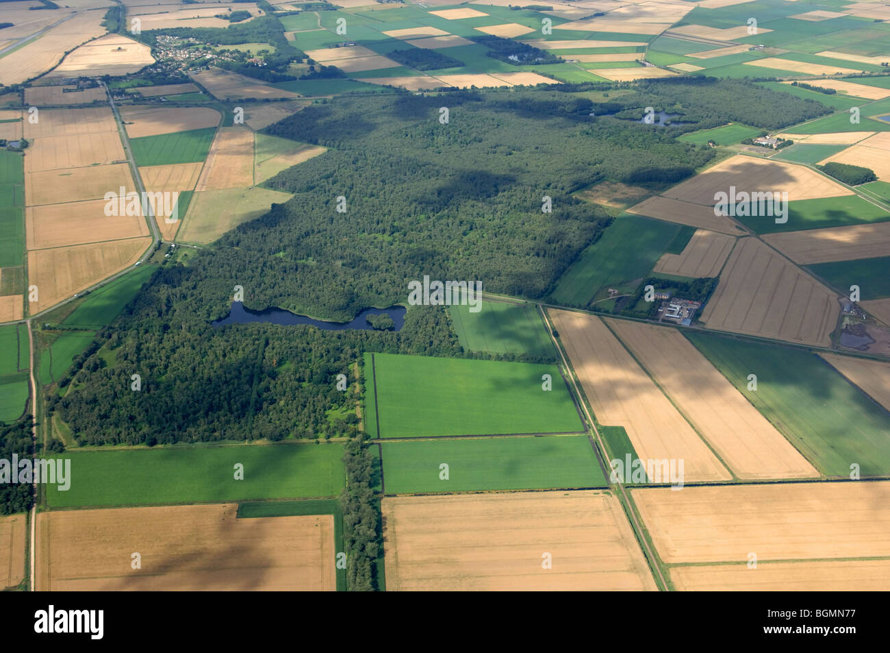
2009Location:
Cambridgeshire EnglandMore information:
The reserve is situated on the south-western shore of the former Whittlesey Mere. The mere was drained in 1851 after years of falling water levels, and within a short time reedbed had been replaced by fields of wheat. In 1852, a cast-iron post (pictured left) was erected by William Wells at the edge of Holme Lode covert. The top of the post was set at ground level and the rest buried and fixed to timber piles driven into the underlying clay. Since this time the peat has dried out and wasted away due to increased drainage. The current position of the post, its top now towering 4m above ground level, shows how much the ground has shrunk in the last 150 years. The farmland adjoining the reserve is now the lowest place in Britain. Since Natural England took over management of Holme Fen National Nature Reserve there has been a focus on protecting the remaining elements of raised bog and in overseeing the natural development of the woodland and grass areas. More recently plans have been developed to protect the reserve by diverting two of the agricultural drains around the southern boundary to help prevent further drainage.