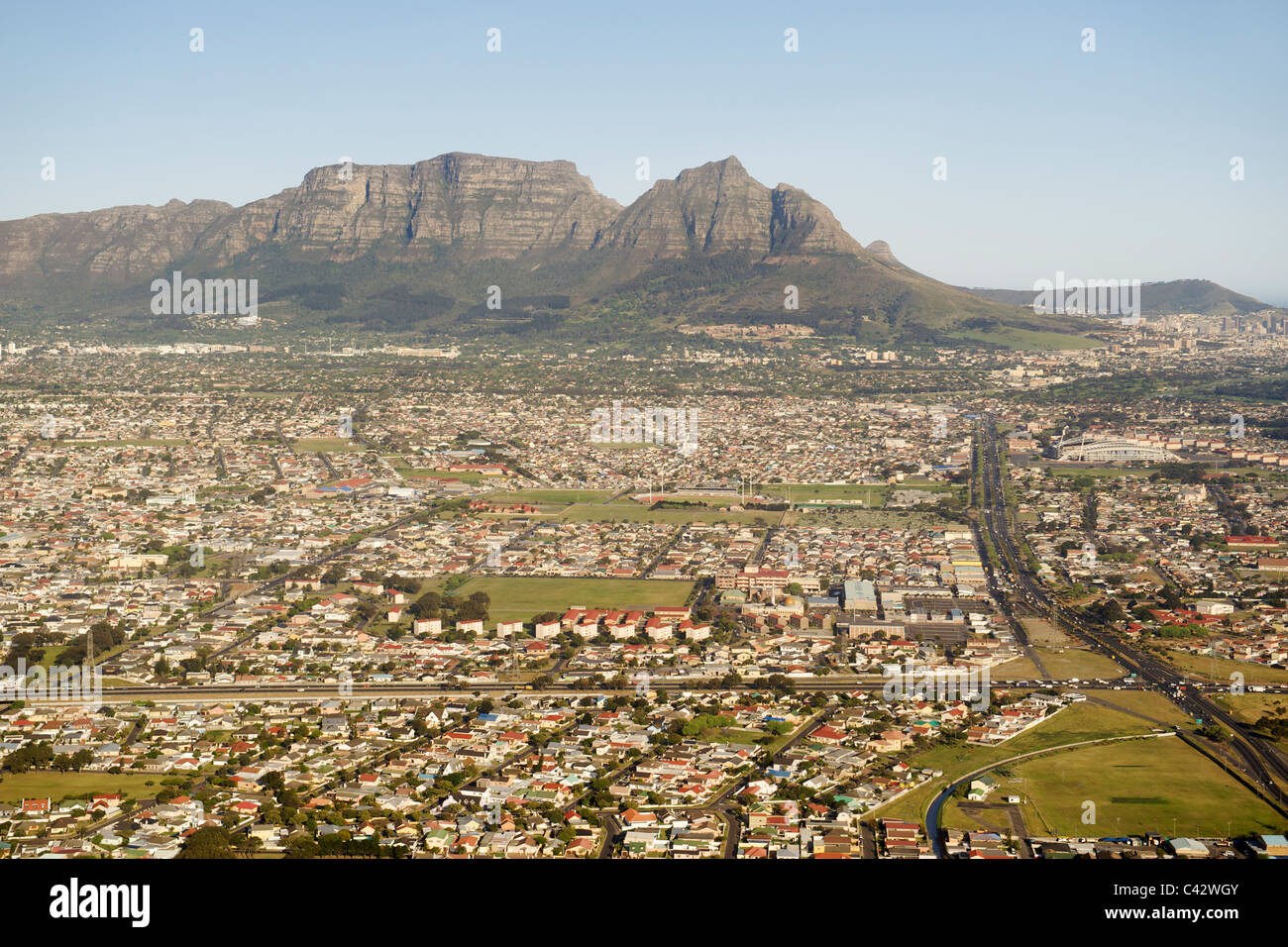
Aerial view looking down Klipfonetin Road (the M18) over the suburbs of Athlone and Rylands in Cape Town, South Africa.

RMID:Image ID:C42WGY
Image details
Contributor:
Eric Nathan / Alamy Stock PhotoImage ID:
C42WGYFile size:
55.6 MB (3.2 MB Compressed download)Releases:
Model - no | Property - noDo I need a release?Dimensions:
5400 x 3600 px | 45.7 x 30.5 cm | 18 x 12 inches | 300dpiDate taken:
September 2010Location:
Cape Town, South AfricaMore information:
Aerial view looking down Klipfonetin Road (the M18) over the suburbs of Athlone and Rylands in Cape Town. Devil's Peak and the back of Table Mountain can be seen in the background.