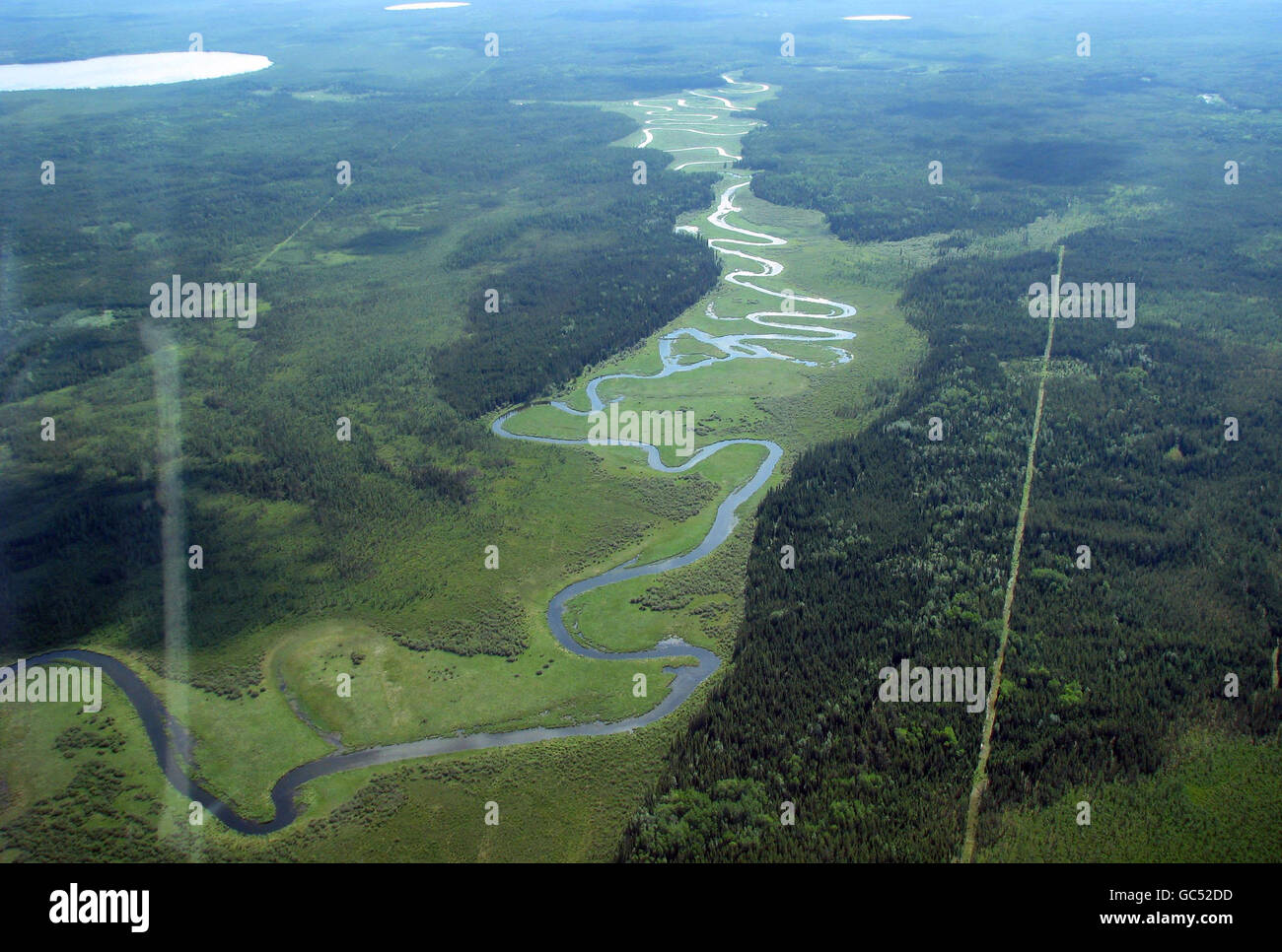
Aerial view of a site near Fort McMurray, Alberta, Canada, where prospectors have cleared trees (right) to create a seismic line to look for oil deposits.

RMID:Image ID:GC52DD
Image details
Contributor:
PA Images / Alamy Stock PhotoImage ID:
GC52DDFile size:
20.5 MB (1 MB Compressed download)Releases:
Model - no | Property - noDo I need a release?Dimensions:
3264 x 2200 px | 27.6 x 18.6 cm | 10.9 x 7.3 inches | 300dpiDate taken:
2 July 2009Location:
Fort McMurray CanadaPhotographer:
Emily BeamentMore information:
This image could have imperfections as it’s either historical or reportage.
EMBARGOED TO 0001 MONDAY OCTOBER 26. Aerial view of a site near Fort McMurray, Alberta, Canada, where prospectors have cleared trees (right) to create a seismic line to look for oil deposits.