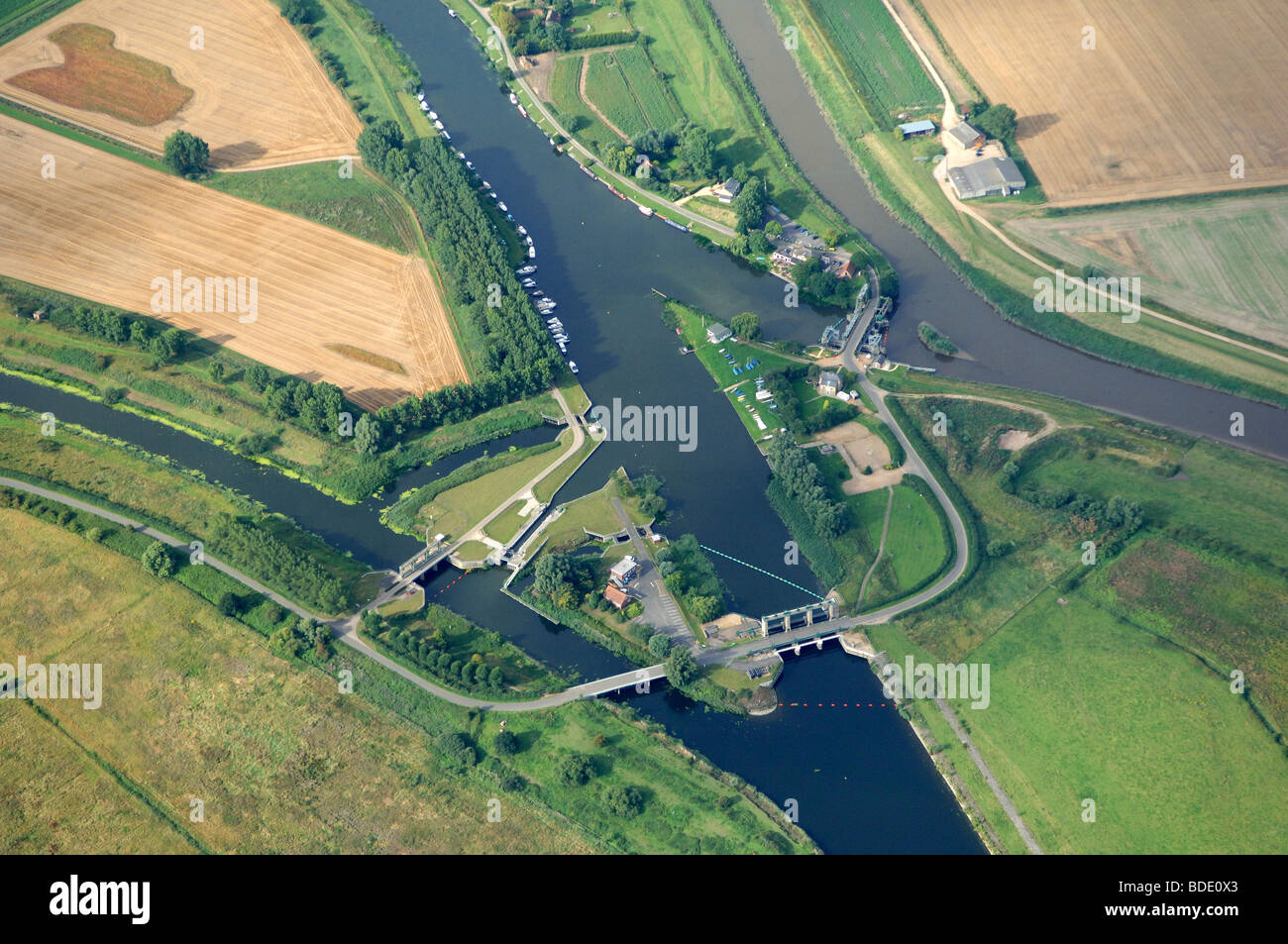
Aerial view of Denver Sluice

Image details
Contributor:
David Wootton / Alamy Stock PhotoImage ID:
BDE0X3File size:
49.8 MB (2.4 MB Compressed download)Releases:
Model - no | Property - noDo I need a release?Dimensions:
5119 x 3400 px | 43.3 x 28.8 cm | 17.1 x 11.3 inches | 300dpiDate taken:
August 2009Location:
Denver, Downham Market NorfolkMore information:
Denver Sluice is a complex array of mechanisms for managing water levels as far away as Essex. In modern Britain water is a ‘hot’ topic, and we worry over the effect of rising sea levels as well as, conversely, the impact of lack of rain during the summer. In the fenland area water has always been an issue; Denver Sluice has been at the centre of this man-made environment since it was first dug by a Dutch engineer of great genius in 1651, surviving natural and manmade disasters, the impact of shrinking land and changing river courses. Denver is two miles from Downham Market, and the sluice stands on the River Ouse, next to the Jennyns Arms pub and Denver Sailing Club. Linking the Norfolk Broads to the waterways of the East Midlands, it is a busy place. But leisure was not its original purpose. When the great landowners of the 17th century sought to drain the vast wetlands of the fens to create the fertile farmland we see today they faced many problems. Apart from the vast scale of the project, which involved digging out channels to straighten the course of the meandering rivers, they also incurred hostility from the local people – the Fen Tigers. They carried on guerilla resistance for many years, attacking the navigators, breaking the sluices and sabotaging the works. It was the Dutch engineer, Cornelius Vermuyden, who orchestrated most of the work. The problems were eventually overcome; during a tortuous period of 20 years, interrupted by the Civil War, the work was completed. The principal engineering achievement of the operation was the construction of the major channels the Old Bedford River and the Forty Foot and Hundred Foot Rivers (known as Drains). Below Denver, the Ely Ouse waters converged for the journey to the sea. Tidal water from The Wash created a risk of flooding the newly-drained lands. To counter this, the first Denver Sluice was built in 1651 across the Ely Ouse at the lower end of the Hundred Foot River. This shut out the tidal water from