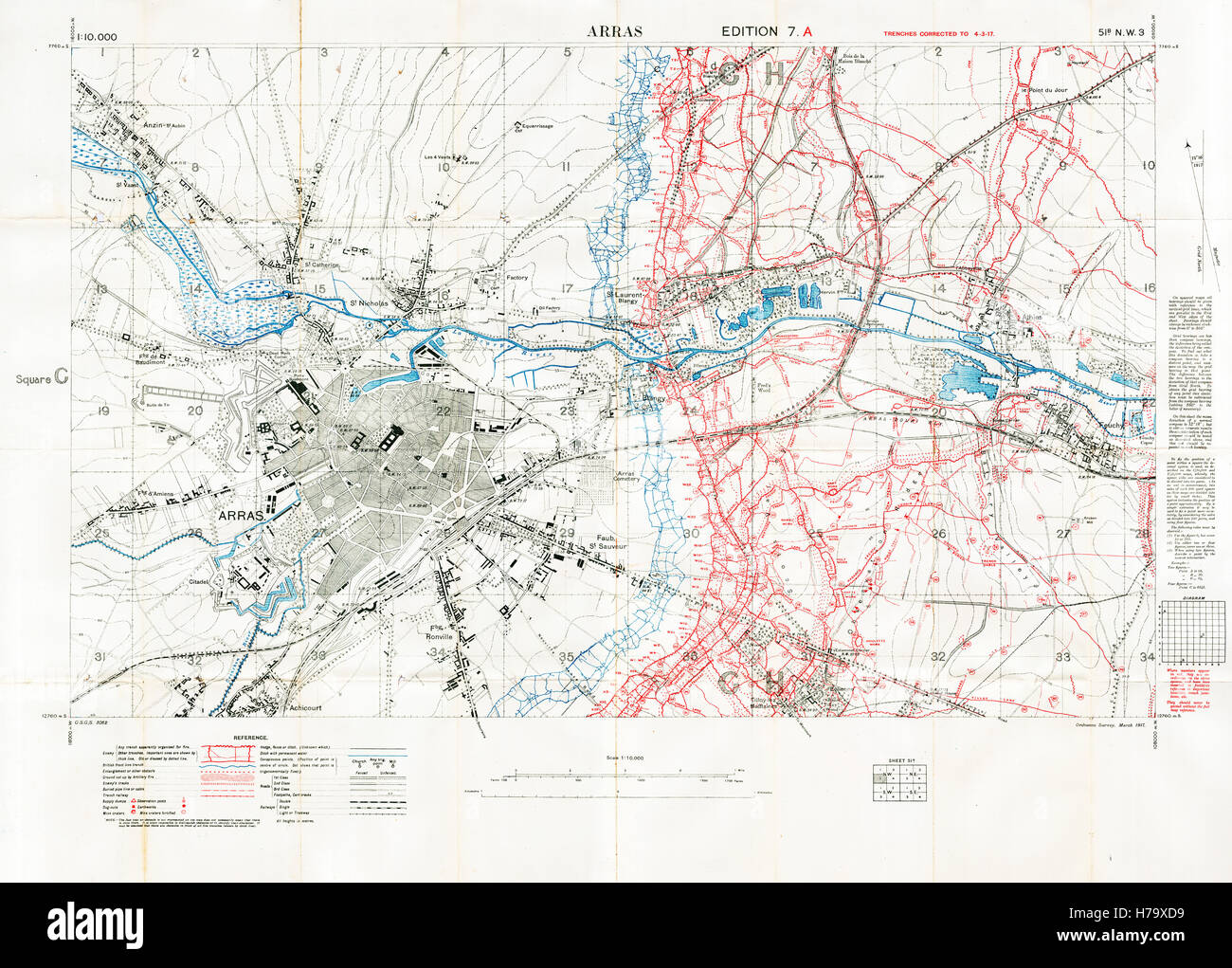
Arras Sector Battlefield Map, 1917 Edition 7A 1:10,000 military map of the British sector in Northern France, with square 51B NW3, trenches correct at March 1917

RMID:Image ID:H79XD9
Image details
Contributor:
Lordprice Collection / Alamy Stock PhotoImage ID:
H79XD9File size:
123.9 MB (8.8 MB Compressed download)Releases:
Model - no | Property - noDo I need a release?Dimensions:
7777 x 5570 px | 65.8 x 47.2 cm | 25.9 x 18.6 inches | 300dpiDate taken:
1917Location:
Arras, Pas de Calais, FranceMore information:
This image could have imperfections as it’s either historical or reportage.