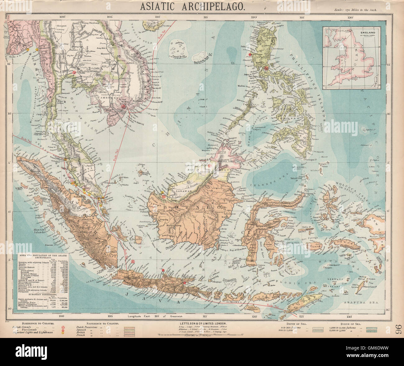
Asiatic Archipelago. Dutch East Indies. Indochina Philippines. LETTS, 1889 map
RFID:Image ID:GM6DWW
Image details
Contributor:
Antiqua Print Gallery / Alamy Stock PhotoImage ID:
GM6DWWFile size:
60.6 MB (4.7 MB Compressed download)Releases:
Model - no | Property - noDo I need a release?Dimensions:
5038 x 4206 px | 42.7 x 35.6 cm | 16.8 x 14 inches | 300dpiDate taken:
1889Location:
IndonesiaMore information:
This image could have imperfections as it’s either historical or reportage.
'Asiatic Archipelago; Inset map of England'. Artist/engraver/cartographer: Published by Mason & Payne. Most of the plates used for this atlas were original engraved for the SDUK atlas in the mid nineteenth century. The plates were later sold to Thomas Letts, and subsequently to Mason & Payne. Provenance: "Letts's Popular Atlas", 2nd Edition; Published by Mason & Payne, Huthinson & Co, London. Type: Antique colour atlas map.