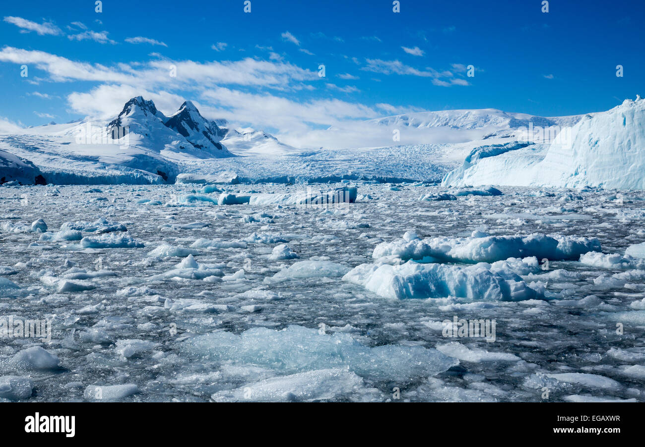
brash ice, icebergs, glaciers and mountains, Cierva Cove, Antarctica

RMID:Image ID:EGAXWR
Image details
Contributor:
B.O'Kane / Alamy Stock PhotoImage ID:
EGAXWRFile size:
54.9 MB (3.2 MB Compressed download)Releases:
Model - no | Property - noDo I need a release?Dimensions:
5543 x 3463 px | 46.9 x 29.3 cm | 18.5 x 11.5 inches | 300dpiDate taken:
February 2015Location:
Cierva Cove, AntarcticaMore information:
Cierva Cove (64°9′S 60°53′WCoordinates: 64°9′S 60°53′W) is a cove lying 6 nautical miles (11 km) southeast of Cape Sterneck in Hughes Bay, just south of Chavdar Peninsula along the west coast of Graham Land, Antarctica. Shown on an Argentine government chart of 1950. It was named by the UK Antarctic Place-Names Committee in 1960 for Juan de la Cierva, Spanish designer of the autogiro, the first successful rotating wing aircraft in 1923.