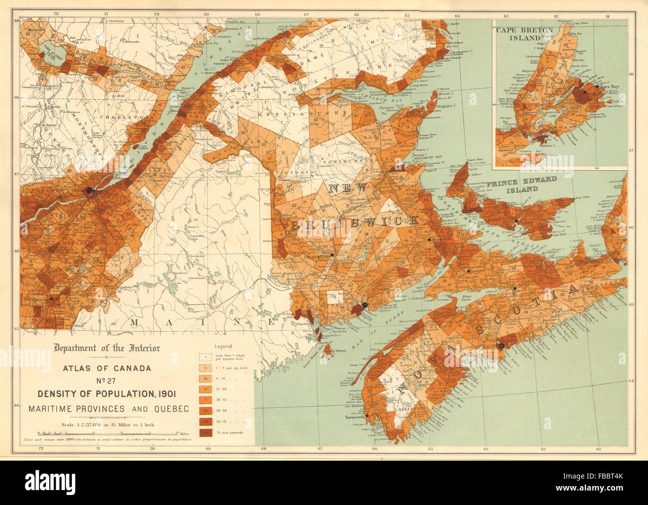
CANADA POPULATION DENSITY 1901. Maritime Provinces and Quebec. WHITE, 1906 map
RFID:Image ID:FBBT4K
Image details
Contributor:
Antiqua Print Gallery / Alamy Stock PhotoImage ID:
FBBT4KFile size:
51.3 MB (2.4 MB Compressed download)Releases:
Model - no | Property - noDo I need a release?Dimensions:
5023 x 3569 px | 42.5 x 30.2 cm | 16.7 x 11.9 inches | 300dpiDate taken:
1906Location:
CanadaMore information:
This image could have imperfections as it’s either historical or reportage.
Artist/engraver/cartographer: James White , F.R.G.S. Provenance: "Atlas of Canada"; published by the Department of the Interior, Canada. Honourable Frank Oliver, Minister, 1906. Prepared under the direction of James White F.R.G.S., Geographer. Type: Antique atlas map.