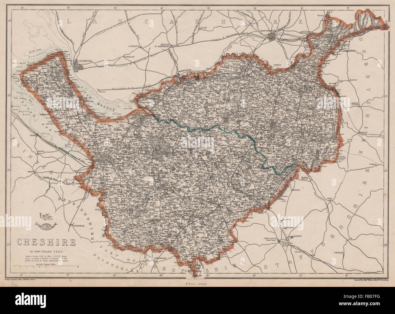
CHESHIRE. Antique county map. Railways. WELLER, 1862
RFID:Image ID:FB07FG
Image details
Contributor:
Antiqua Print Gallery / Alamy Stock PhotoImage ID:
FB07FGFile size:
55.5 MB (4.4 MB Compressed download)Releases:
Model - no | Property - noDo I need a release?Dimensions:
5175 x 3749 px | 43.8 x 31.7 cm | 17.3 x 12.5 inches | 300dpiDate taken:
1862Location:
CheshireMore information:
This image could have imperfections as it’s either historical or reportage.
Artist/engraver/cartographer: Engraved by Edwd. Weller. Provenance: "Cassell's Complete Atlas", Published by Cassell, Petter and Galpin, London. Type: Antique map with original outline colour.