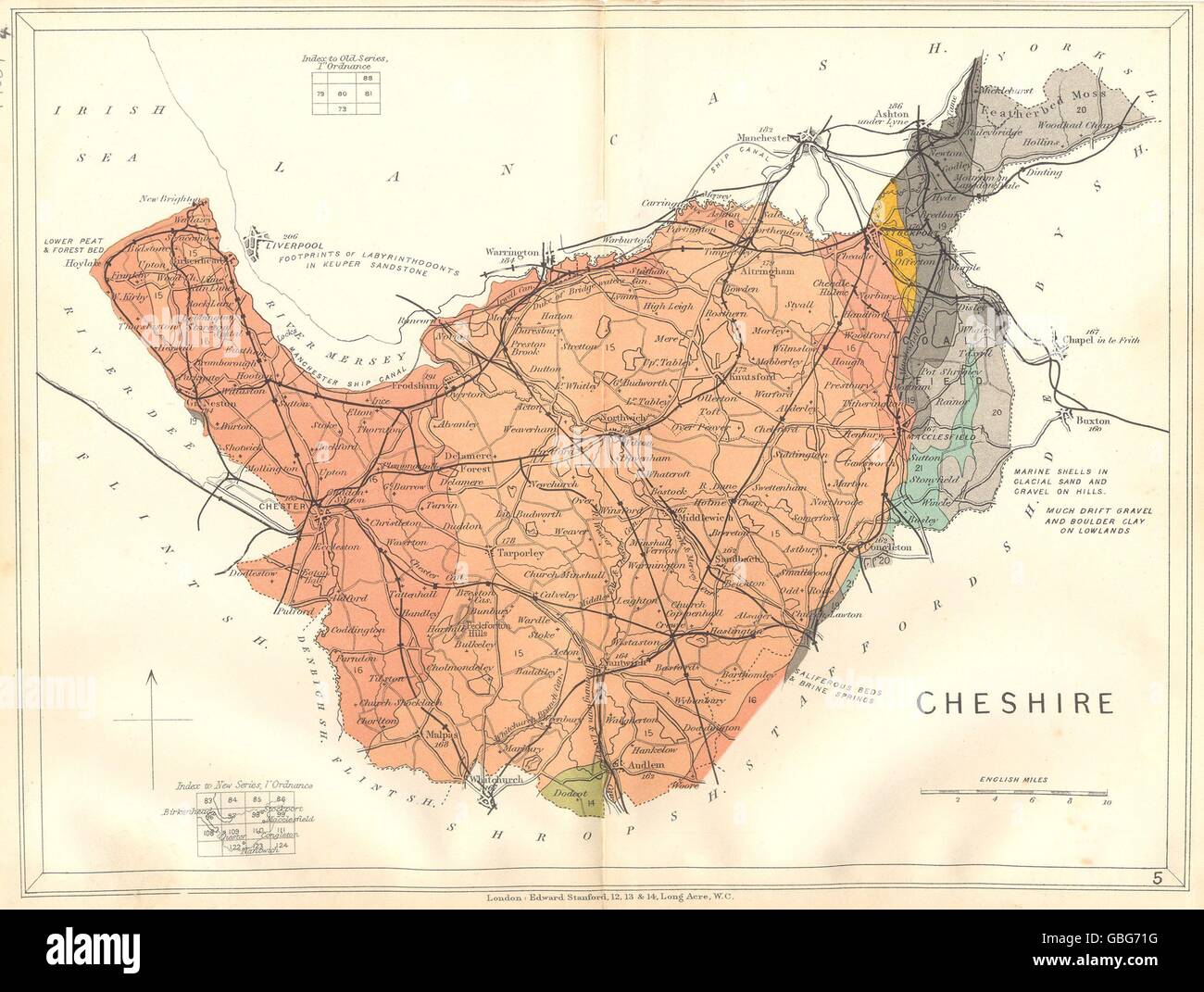
CHESHIRE: Geological map. STANFORD, 1880
RFID:Image ID:GBG71G
Image details
Contributor:
Antiqua Print Gallery / Alamy Stock PhotoImage ID:
GBG71GFile size:
18.2 MB (984.2 KB Compressed download)Releases:
Model - no | Property - noDo I need a release?Dimensions:
2904 x 2193 px | 24.6 x 18.6 cm | 9.7 x 7.3 inches | 300dpiDate taken:
1880Location:
CheshireMore information:
This image could have imperfections as it’s either historical or reportage.
'Cheshire'. Artist/engraver/cartographer: Edward Stanford. Provenance: "Stanford's Geological Atlas". Type: Antique engraved map with original hand colouring. The map colours indicate age and geology of the area. Noted on the map are the locations of metal and mineral deposits, and significant fossil finds.