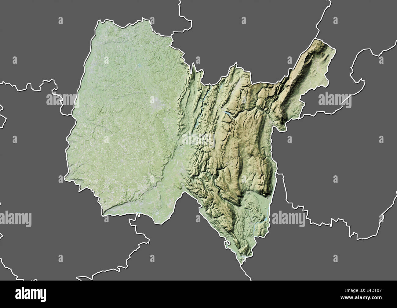
Departement of Ain, France, Relief Map
RMID:Image ID:E4DT07
Image details
Contributor:
Universal Images Group North America LLC / Alamy Stock PhotoImage ID:
E4DT07File size:
49.8 MB (1.5 MB Compressed download)Releases:
Model - no | Property - noDo I need a release?Dimensions:
4961 x 3511 px | 42 x 29.7 cm | 16.5 x 11.7 inches | 300dpiDate taken:
12 June 2012Photographer:
Planet ObserverMore information:
This image could have imperfections as it’s either historical or reportage.
Relief map of the departement of Ain, France. Highest point is the Cret de la Neige (1720 m) in the mountain chain of the Jura. This image was compiled from data acquired by LANDSAT 5 & 7 satellites combined with elevation data.