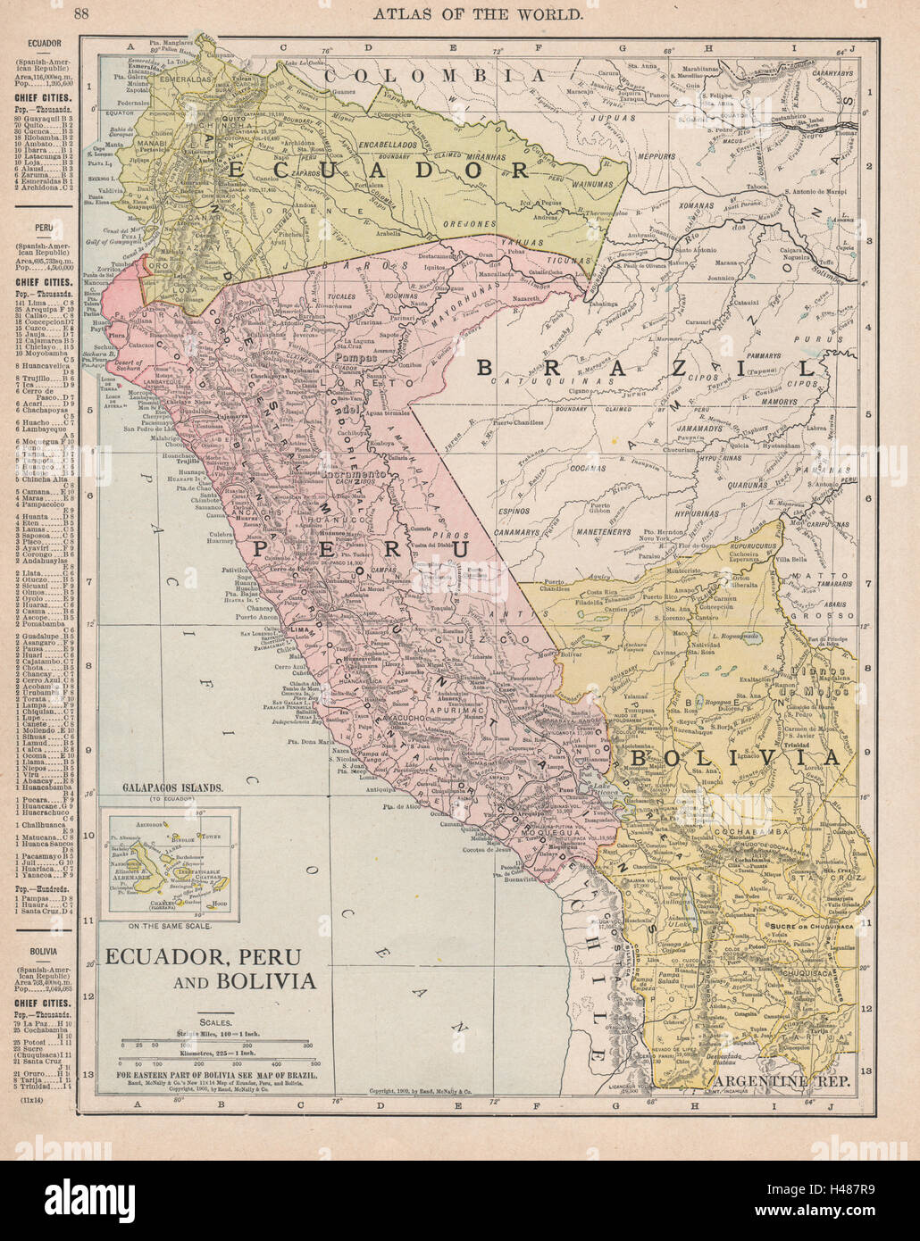
ECUADOR PERU BOLIVIA. Border pre Guerra del 41 war. RAND MCNALLY 1912 old map

RFID:Image ID:H487R9
Image details
Contributor:
Antiqua Print Gallery / Alamy Stock PhotoImage ID:
H487R9File size:
36.8 MB (3 MB Compressed download)Releases:
Model - no | Property - noDo I need a release?Dimensions:
3192 x 4025 px | 27 x 34.1 cm | 10.6 x 13.4 inches | 300dpiDate taken:
1912Location:
Andean StatesMore information:
This image could have imperfections as it’s either historical or reportage.
'Ecuador, Peru and Bolivia; Inset Galapagos Islands (To Ecuador)'. Artist/engraver/cartographer: Rand McNally. Provenance: “Rand Mc Nally's Unrivaled Atlas”, Rand McNally, Chicago & New York, USA. Type: Antique colour (color) atlas map.