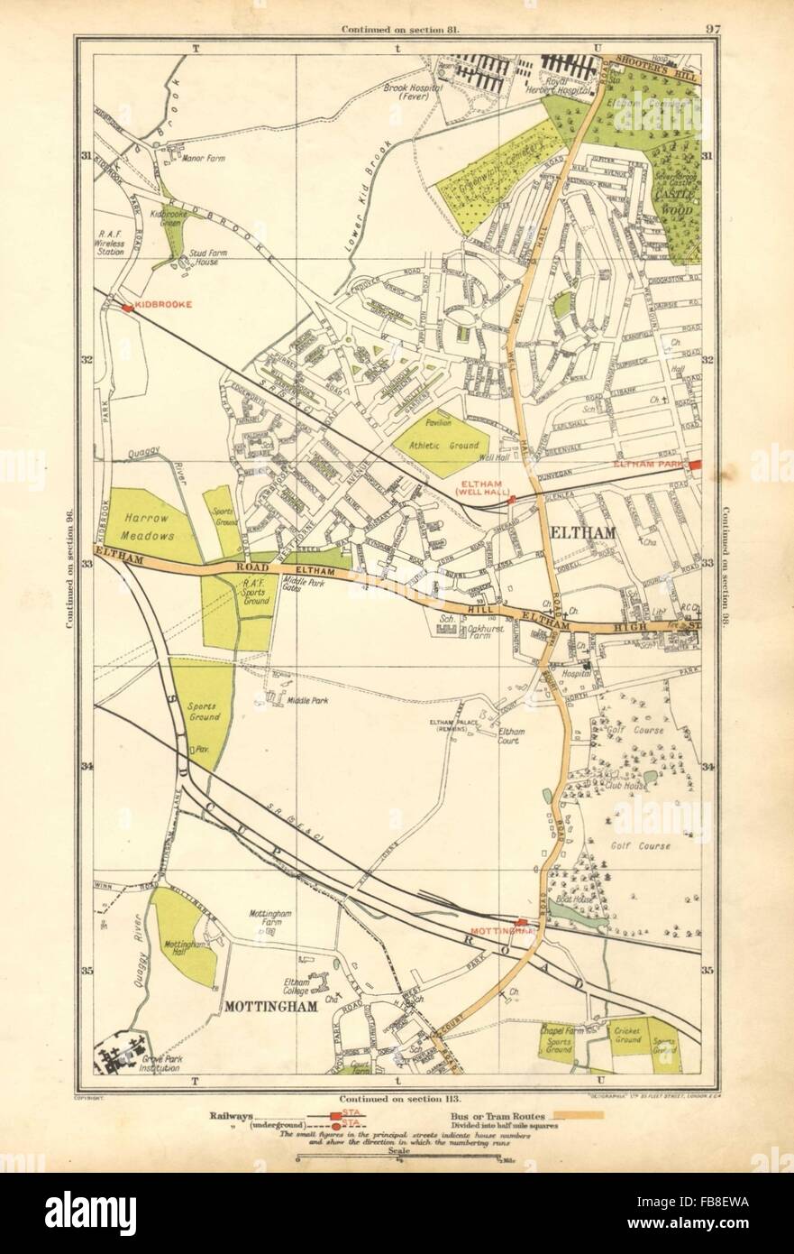
ELTHAM: Mottingham, Kidbrooke, Shooter's Hill, Eltham Park, Horn Park, 1928 map

RFID:Image ID:FB8EWA
Image details
Contributor:
Antiqua Print Gallery / Alamy Stock PhotoImage ID:
FB8EWAFile size:
29.8 MB (817.7 KB Compressed download)Releases:
Model - no | Property - noDo I need a release?Dimensions:
2655 x 3917 px | 22.5 x 33.2 cm | 8.9 x 13.1 inches | 300dpiDate taken:
1928Location:
LondonMore information:
This image could have imperfections as it’s either historical or reportage.
Artist/engraver/cartographer: The Geographia map company. Provenance: "The Authentic map directory of London and suburbs", new and revised [second] edition, published by Geographia Ltd. Type: Colour vintage street atlas map. The following rail & underground stations are marked on the map: Well Hall, Shooter's Hill & Eltham Park, Eltham & Mottingham, Kidbrooke. Notable buildings, features and public spaces marked on the map include: Grove Park Institution, Eltham Palace (remains), Brook Hospital (Fever), Royal Herbert Hospital, RAF Sports Ground.