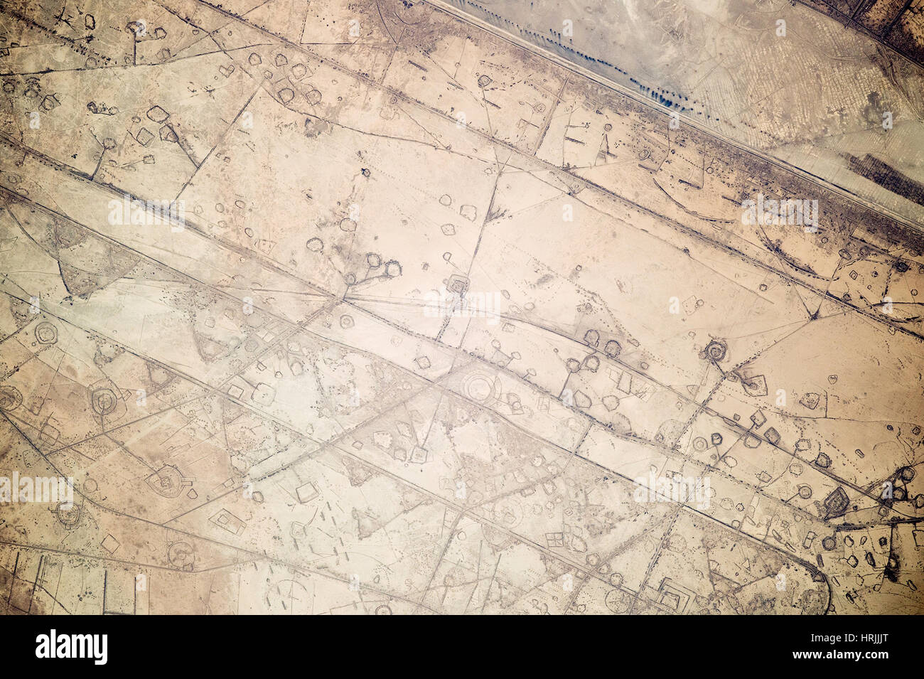
Fortifications Along Iraq-Iran Border

Image details
Contributor:
Science History Images / Alamy Stock PhotoImage ID:
HRJJJTFile size:
19 MB (1.4 MB Compressed download)Releases:
Model - no | Property - noDo I need a release?Dimensions:
3155 x 2100 px | 26.7 x 17.8 cm | 10.5 x 7 inches | 300dpiPhotographer:
Photo ResearchersMore information:
This image could have imperfections as it’s either historical or reportage.
Astronauts aboard the International Space Station took this photograph of land fortifications along a 20-kilometer (12-mile) stretch of the border between Iraq and Iran, near the coast of the Persian Gulf. The border is the straight diagonal line at upper right, with Iraq to the south and Iran to the north. Systems of large curved earthworks, circular gun emplacements, and straight connecting roads run parallel to the international border. First thought by the ISS team to be oil-pad installations, the strategic location of these formations along the international boundary made it easier to see these as patterns of military fortifications. This region of oil refining and exporting was the center of numerous military actions during the war in the 1980s, especially during the defense of the southern city of Basra. Image acquired on November 7, 2014.