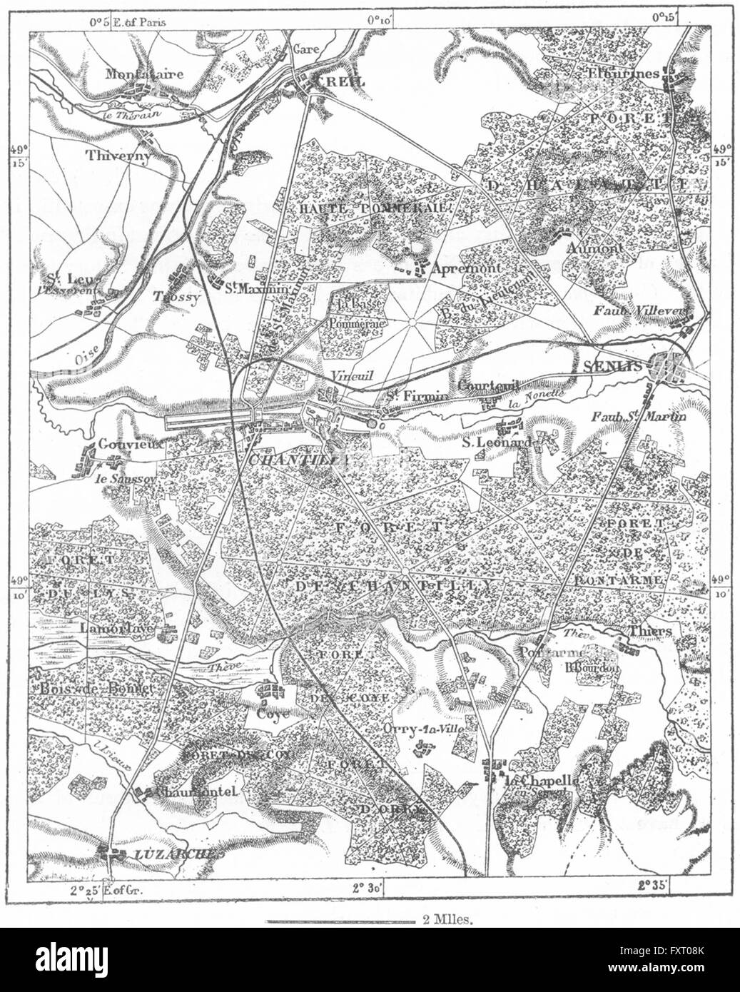
FRANCE: Chantilly, sketch map, c1885
RFID:Image ID:FXT08K
Image details
Contributor:
Antiqua Print Gallery / Alamy Stock PhotoImage ID:
FXT08KFile size:
7.2 MB (566 KB Compressed download)Releases:
Model - no | Property - noDo I need a release?Dimensions:
1421 x 1780 px | 24.1 x 30.1 cm | 9.5 x 11.9 inches | 150dpiDate taken:
1885Location:
FranceMore information:
This image could have imperfections as it’s either historical or reportage.
Artist/engraver/cartographer: Unsigned. Provenance: "The Universal Geography, the Earth and its inhabitants, by Elisee Reclus, edited by E.G. Ravenstein, F.R.G.S., F.S.S., Published by Virtue & Co Ltd, London. Type: Antique engraved sketch map. Scale 1: 130, 000.