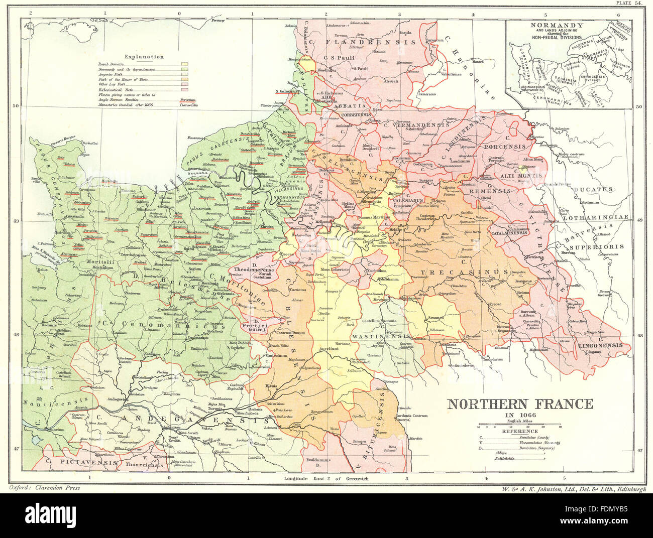
FRANCE: Northern 1066; map Normandy lands Non- Feudal divisions, 1903
RFID:Image ID:FDMYB5
Image details
Contributor:
Antiqua Print Gallery / Alamy Stock PhotoImage ID:
FDMYB5File size:
32.6 MB (3.3 MB Compressed download)Releases:
Model - no | Property - noDo I need a release?Dimensions:
3882 x 2935 px | 32.9 x 24.8 cm | 12.9 x 9.8 inches | 300dpiDate taken:
1903Location:
FranceMore information:
This image could have imperfections as it’s either historical or reportage.
Artist/engraver/cartographer: By Professor Tait. Provenance: "The Latin Nations"; Published by Edinburgh : W. & A.K. Johnston, Ltd., London. Type: Antique lithographic colour map.