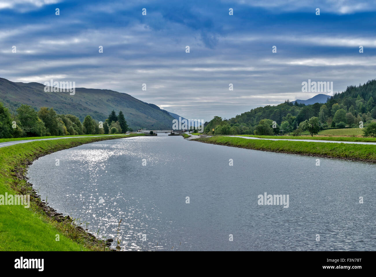
GREAT GLEN WAY OR TRAIL SCOTLAND LOOKING BACK TO THE ABERCHALDER SWING BRIDGE AND SUNLIGHT GLINTING ON THE CALEDONIAN CANAL

Image details
Contributor:
JOHN BRACEGIRDLE / Alamy Stock PhotoImage ID:
F3N78TFile size:
68.7 MB (3.1 MB Compressed download)Releases:
Model - no | Property - noDo I need a release?Dimensions:
6000 x 4000 px | 50.8 x 33.9 cm | 20 x 13.3 inches | 300dpiDate taken:
26 September 2015Location:
SCOTLANDMore information:
The Great Glen Way stretches for 117km from coast to coast across the Highlands, linking the main centres of Fort William and the regional capital of Inverness. The route follows the major natural faultline of the Great Glen which divides Scotland from coast to coast. Most of the route keeps to lower levels and offers a good introduction to the Highlands and to long distance walking; from August 2014 there are also higher options between Fort Augustus and Drumnadrochit which offer more dramatic views but are a little more strenuous. The Way runs along the complete lengths of Loch Linnhe, Loch Oich and the forests above Loch Ness, as well as along the towpath of the Caledonian Canal, an engineering marvel built by Thomas Telford that links these lochs and creates a through route from the western seaboard to the Moray Firth.