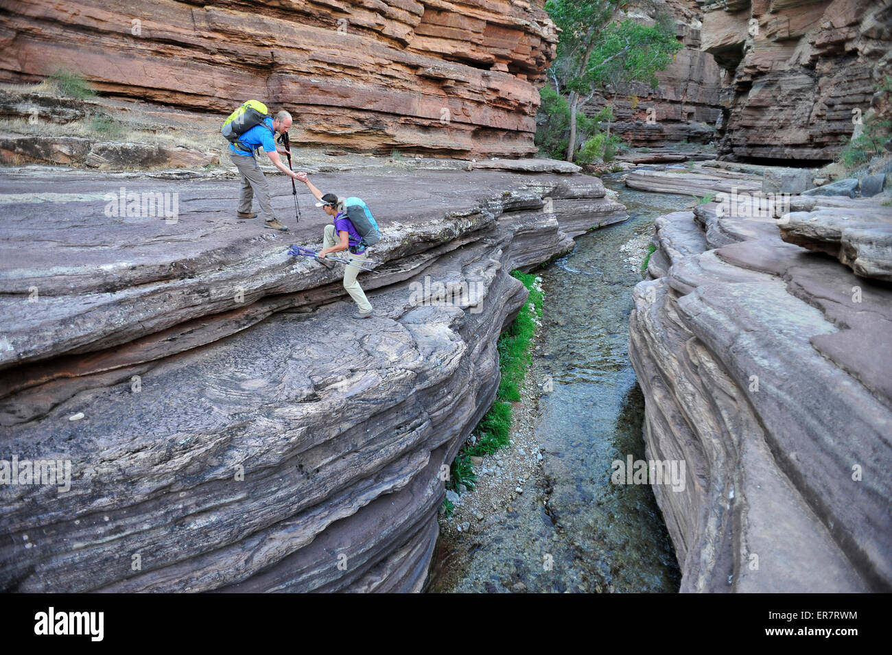
Hikers walk along Deer Creek Narrows in the Grand Canyon outside of Fredonia, Arizona November 2011.

RFID:Image ID:ER7RWM
Image details
Contributor:
Cavan Images / Alamy Stock PhotoImage ID:
ER7RWMFile size:
50.5 MB (2.9 MB Compressed download)Releases:
Model - yes | Property - noDo I need a release?Dimensions:
5150 x 3427 px | 43.6 x 29 cm | 17.2 x 11.4 inches | 300dpiDate taken:
31 October 2011Location:
Anchorage,AK,USAPhotographer:
HagePhotoMore information:
Hikers walk along Deer Creek Narrows in the Grand Canyon outside of Fredonia, Arizona November 2011. The 21.4-mile loop starts at the Bill Hall trailhead on the North Rim and descends 2000-feet in 2.5-miles through Coconino Sandstone to the level Esplanada then descends further into the lower canyon through a break in the 400-foot-tall Redwall to access Surprise Valley. Hikers connect Thunder River and Tapeats Creek to a route along the Colorado River and climb out Deer Creek.