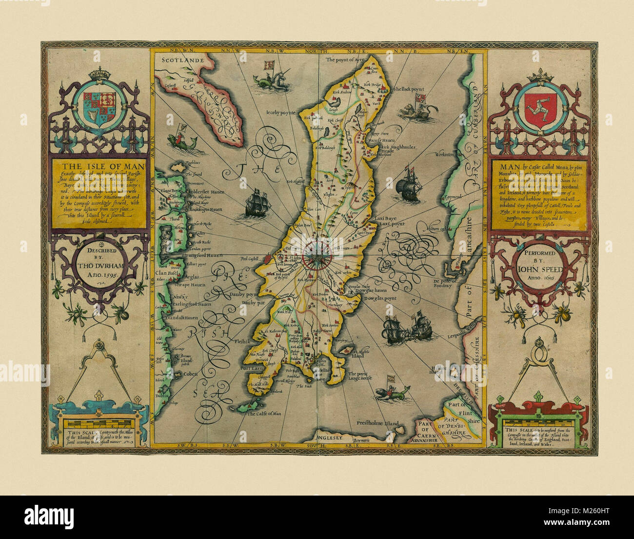
Historical map of the Isle of Man circa 1605.
RFID:Image ID:M260HT
Image details
Contributor:
Andrew Fare / Alamy Stock PhotoImage ID:
M260HTFile size:
22.9 MB (1.9 MB Compressed download)Releases:
Model - no | Property - noDo I need a release?Dimensions:
3200 x 2500 px | 27.1 x 21.2 cm | 10.7 x 8.3 inches | 300dpiMore information:
This image could have imperfections as it’s either historical or reportage.