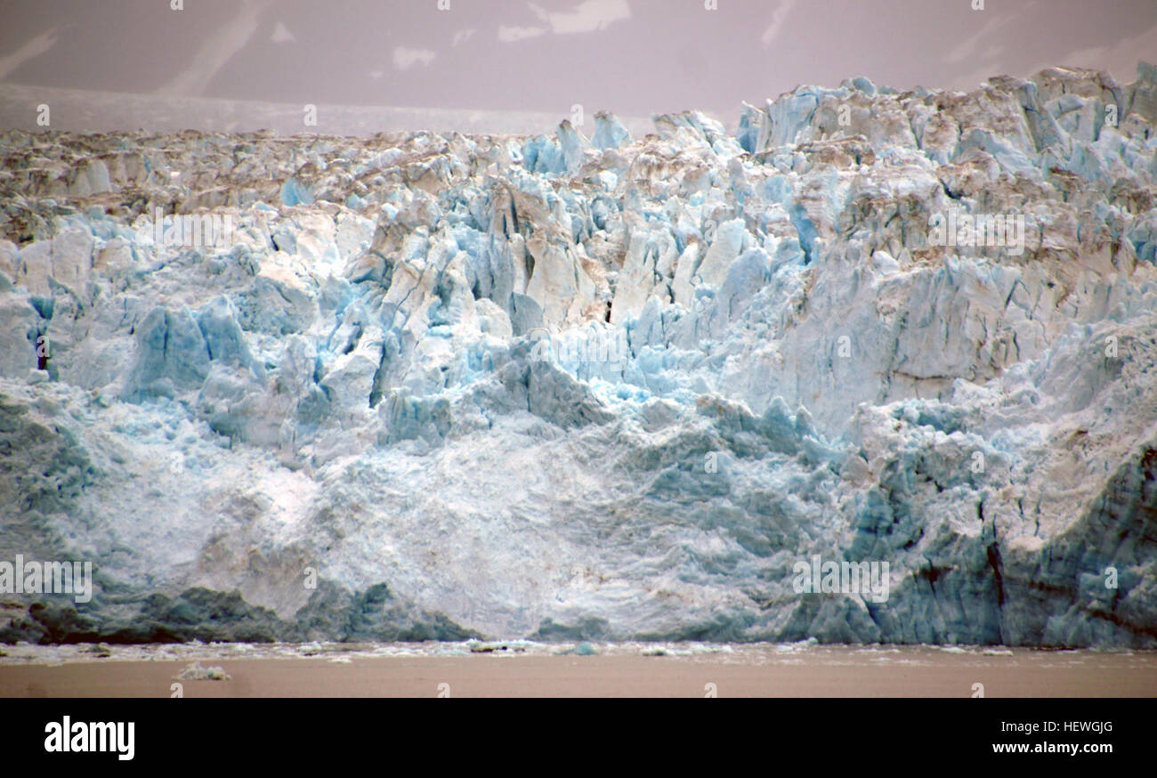
Hubbard Glacier is a glacier located in eastern Alaska and part of yukon Canada. Map of Hubbard Glacier Hubbard Glacier, Alaska squeezes towards Gilbert Point on May 20, 2002 The glacier is close to sealing off Russell Fjord at top from Disenchantment Bay at bottom. The longest source for Hubbard Glacier originates 122 kilometres (76 mi) from its snout and is located at about 61°00′N 140°09′W, approximately 8 kilometres (5 mi) west of Mount Walsh with an altitude around 11,000 feet (3,400 m). A shorter tributary glacier begins at the easternmost summit on the Mount Logan ridge at about 18,300

Image details
Contributor:
NZ Collection / Alamy Stock PhotoImage ID:
HEWGJGFile size:
7.2 MB (429.9 KB Compressed download)Releases:
Model - no | Property - noDo I need a release?Dimensions:
2036 x 1228 px | 34.5 x 20.8 cm | 13.6 x 8.2 inches | 150dpiDate taken:
2 September 2012More information:
This image is a public domain image, which means either that copyright has expired in the image or the copyright holder has waived their copyright. Alamy charges you a fee for access to the high resolution copy of the image.
This image could have imperfections as it’s either historical or reportage.
Hubbard Glacier is a glacier located in eastern Alaska and part of yukon Canada. Map of Hubbard Glacier Hubbard Glacier, Alaska squeezes towards Gilbert Point on May 20, 2002 The glacier is close to sealing off Russell Fjord at top from Disenchantment Bay at bottom. The longest source for Hubbard Glacier originates 122 kilometres (76 mi) from its snout and is located at about 61°00′N 140°09′W, approximately 8 kilometres (5 mi) west of Mount Walsh with an altitude around 11, 000 feet (3, 400 m). A shorter tributary glacier begins at the easternmost summit on the Mount Logan ridge at about 18, 300 feet (5, 600 m) at about 60°35′0″N 140°22′40″W. Before it reaches the sea, Hubbard is joined by the Valerie Glacier to the west, which, through forward surges of its own ice, has contributed to the advance of the ice flow that experts believe will eventually dam the Russell Fjord from Disenchantment Bay waters.