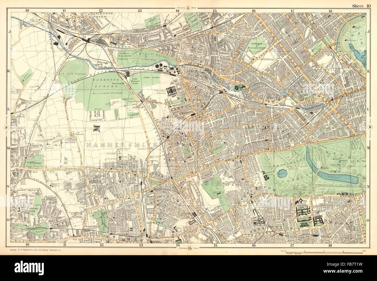
LONDON:Notting Hill,Kensington,St Johns Wd,Hammersmith,Bayswater.BACON, 1902 map

Image details
Contributor:
Antiqua Print Gallery / Alamy Stock PhotoImage ID:
FB7T1WFile size:
69.5 MB (5.3 MB Compressed download)Releases:
Model - no | Property - noDo I need a release?Dimensions:
5986 x 4056 px | 50.7 x 34.3 cm | 20 x 13.5 inches | 300dpiDate taken:
1902Location:
LondonMore information:
This image could have imperfections as it’s either historical or reportage.
Artist/engraver/cartographer: George W Bacon. Provenance: "New Large-Scale Atlas of London & Suburbs", G.W.Bacon & Co Limited, 127, Strand, London. Type: Antique street atlas map with original hand colour (Scale: 1 mile to 4 inches). This map (sheet 10) includes all or part of the following areas/suburbs of London: Hammersmith, Paddington, Kensington, Brook Green, Kensington, South Kensington, Brompton, Hyde Park, Bayswater, Notting Hill, Kensal Green, Marylebone, St John's Wood, Maida Vale, East Acton, Shepherd's Bush, Turnham Green, Willesden Junction, Kensal Rise, Queens Park, White City, Holland Park, Knightsbridge, Maida Hill. Adjacent map sheets are offered for sale separately: The map section to the north of this map is sheet number 5. The map section to the south of this map is sheet number 15. The map section to the west of this map is sheet number 9. The map section to the east of this map is sheet number 11.