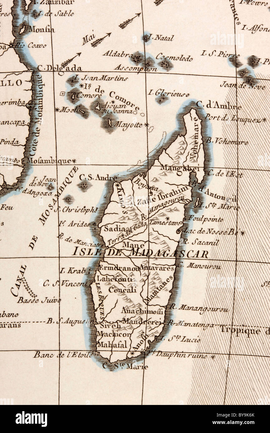
Madagascar and Comoros Islands circa 1760.

RMID:Image ID:BY9K6K
Image details
Contributor:
Classic Image / Alamy Stock PhotoImage ID:
BY9K6KFile size:
56.3 MB (2.9 MB Compressed download)Releases:
Model - no | Property - noDo I need a release?Dimensions:
3622 x 5433 px | 30.7 x 46 cm | 12.1 x 18.1 inches | 300dpiDate taken:
25 January 2011More information:
This image could have imperfections as it’s either historical or reportage.
Madagascar and Comoros Islands circa 1760. From Atlas de Toutes Les Parties Connues du Globe Terrestre by Cartographer Rigobert Bonne Published Geneva circa 1760.