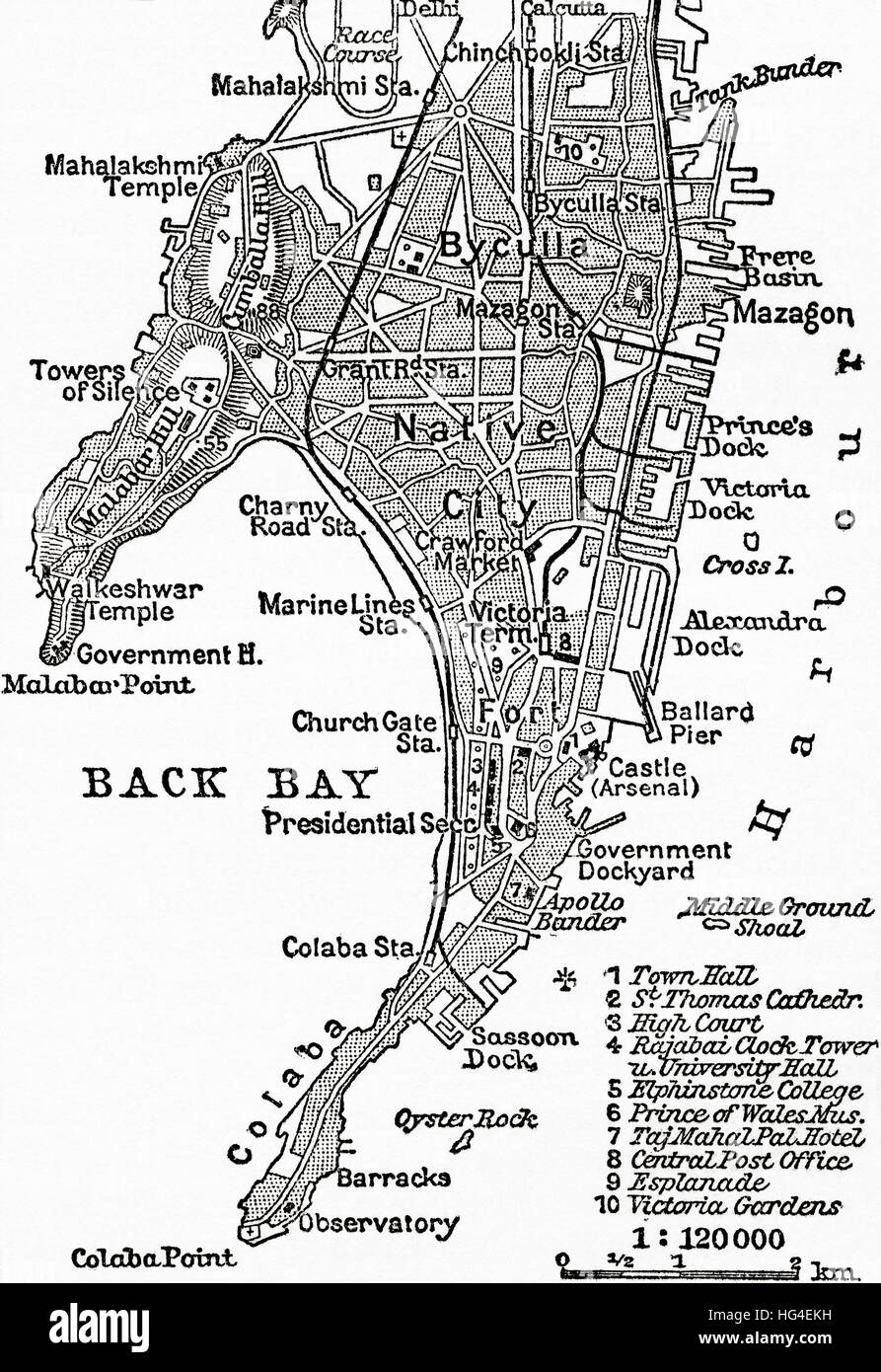
Map of Bombay, India, c. 1920. From Meyers Lexicon, published 1924.
RMID:Image ID:HG4EKH
Image details
Contributor:
Classic Image / Alamy Stock PhotoImage ID:
HG4EKHFile size:
54.7 MB (3.2 MB Compressed download)Releases:
Model - no | Property - noDo I need a release?Dimensions:
3624 x 5274 px | 30.7 x 44.7 cm | 12.1 x 17.6 inches | 300dpiDate taken:
1 January 1924More information:
This image could have imperfections as it’s either historical or reportage.