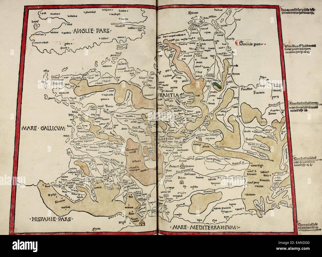
Map of France from ‘Cosmographia’ by Claudius Ptolemy (Ptolemaeus) (90-168AD). See description for more information.

RMID:Image ID:EANDG0
Image details
Contributor:
AF Fotografie / Alamy Stock PhotoImage ID:
EANDG0File size:
111.9 MB (3.9 MB Compressed download)Releases:
Model - no | Property - noDo I need a release?Dimensions:
7323 x 5343 px | 62 x 45.2 cm | 24.4 x 17.8 inches | 300dpiDate taken:
1482Location:
Ulm, GermanyMore information:
This image could have imperfections as it’s either historical or reportage.
Map of France (Francia, Kingdom of the Franks) from the first printed atlas 'Cosmographia' by Ptolemy (90-168AD), this image taken from a rare 1482 edition printed in Ulm Germany featuring woodcut maps created by Donnus Nicolaus Germanus (1420-1490) using Ptolemy’s method and descriptions as well as his own pioneering work.