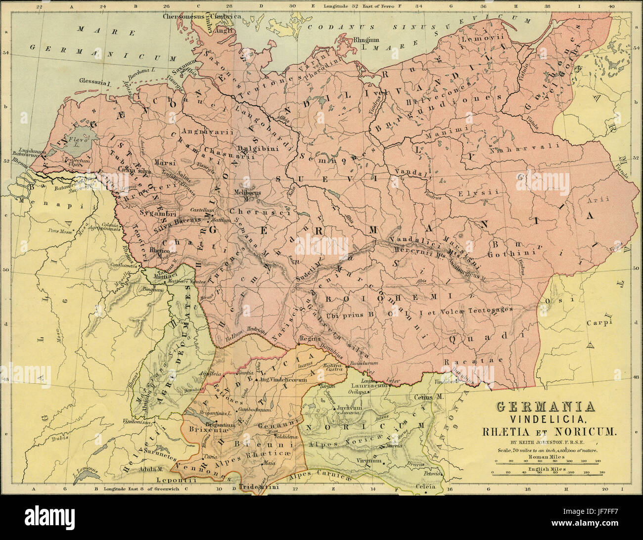
Map of Germania, Vindelicia, Raetia and Noricun - Roman Germany and central Europe. Drawn by Keith Johnston F.R.S.E. Published in The Unrivalled Classical Atlas by W. and A.K. Johnston in 1877.

RMID:Image ID:JF7FF7
Image details
Contributor:
Lebrecht Music & Arts / Alamy Stock PhotoImage ID:
JF7FF7File size:
50 MB (4.4 MB Compressed download)Releases:
Model - no | Property - noDo I need a release?Dimensions:
4761 x 3670 px | 40.3 x 31.1 cm | 15.9 x 12.2 inches | 300dpiDate taken:
2 May 2017Photographer:
LebrechtMore information:
This image could have imperfections as it’s either historical or reportage.