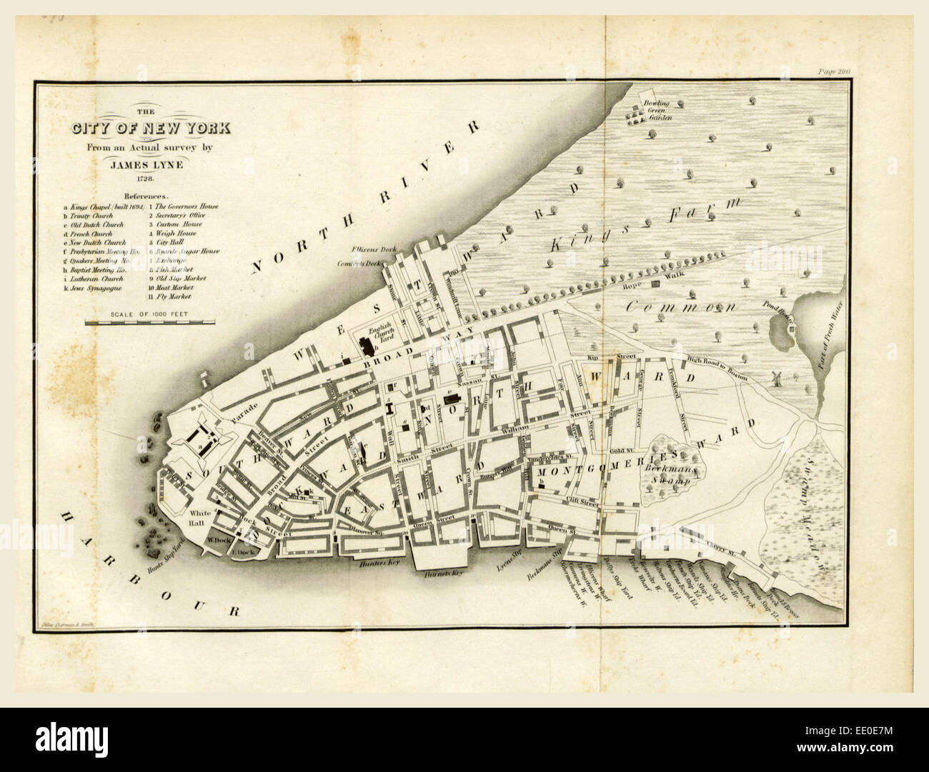
Map of New York, 1728, History of the New Netherlands, Province of New York, and State of New York
RMID:Image ID:EE0E7M
Image details
Contributor:
Penta Springs Limited / Alamy Stock PhotoImage ID:
EE0E7MFile size:
86.5 MB (2.7 MB Compressed download)Releases:
Model - no | Property - noDo I need a release?Dimensions:
6299 x 4802 px | 53.3 x 40.7 cm | 21 x 16 inches | 300dpiDate taken:
7 August 2014Photographer:
ArtokoloroMore information:
This image could have imperfections as it’s either historical or reportage.
Map of New York, 1728, History of the New Netherlands, Province of New York, and State of New York, to the adoption of the Federal Constitution, 19th century engraving