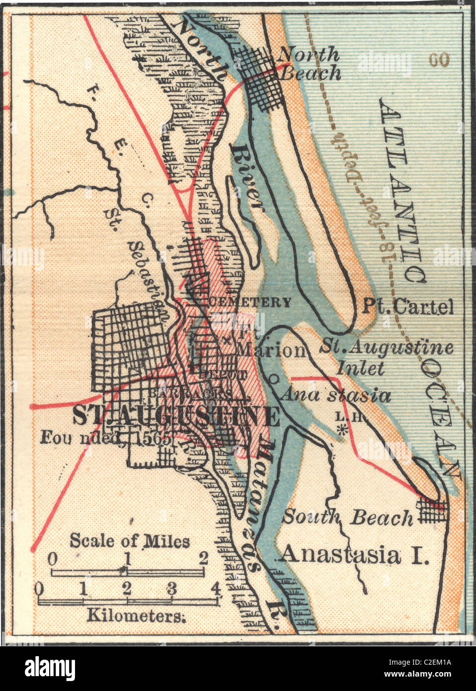
Map of St. Augustine, Florida
RMID:Image ID:C2EM1A
Image details
Contributor:
Universal Images Group North America LLC / Alamy Stock PhotoImage ID:
C2EM1AFile size:
15.1 MB (1.3 MB Compressed download)Releases:
Model - no | Property - noDo I need a release?Dimensions:
1974 x 2677 px | 16.7 x 22.7 cm | 6.6 x 8.9 inches | 300dpiPhotographer:
Encyclopaedia Britannica, Inc.More information:
This image could have imperfections as it’s either historical or reportage.
Map of St. Augustine, Florida, circa 1902, from the 10th edition of Encyclopaedia Britannica.