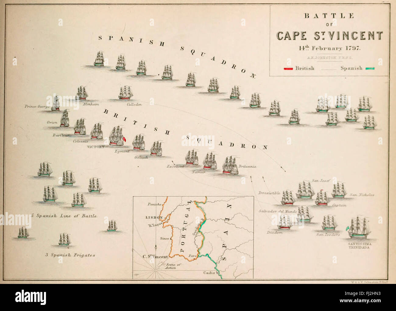
Map of The Battle of Cape St Vincent (14 February 1797), one of the opening battles of the Anglo-Spanish War (1796–1808), as part of the French Revolutionary Wars, where a British fleet under Admiral Sir John Jervis defeated a larger Spanish fleet under Admiral Don José de Córdoba y Ramos near Cape St. Vincent, Portugal.

RMID:Image ID:FJ2HN3
Image details
Contributor:
Niday Picture Library / Alamy Stock PhotoImage ID:
FJ2HN3File size:
12.8 MB (365.9 KB Compressed download)Releases:
Model - no | Property - noDo I need a release?Dimensions:
2501 x 1794 px | 21.2 x 15.2 cm | 8.3 x 6 inches | 300dpiDate taken:
23 February 2016More information:
This image could have imperfections as it’s either historical or reportage.