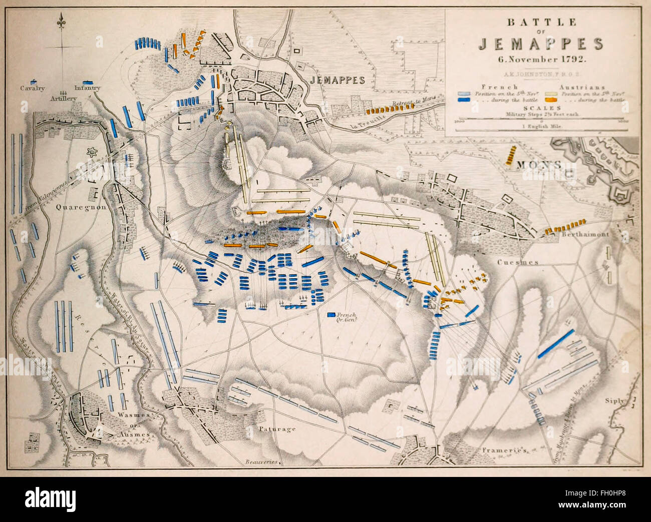
Map of The Battle of Jemappes (6 November 1792) took place near the town of Jemappes in Hainaut, Belgium, near Mons during the War of the First Coalition, part of the French Revolutionary Wars.

RMID:Image ID:FH0HP8
Image details
Contributor:
Niday Picture Library / Alamy Stock PhotoImage ID:
FH0HP8File size:
12.8 MB (697.8 KB Compressed download)Releases:
Model - no | Property - noDo I need a release?Dimensions:
2471 x 1812 px | 41.8 x 30.7 cm | 16.5 x 12.1 inches | 150dpiDate taken:
23 February 2016More information:
This image could have imperfections as it’s either historical or reportage.