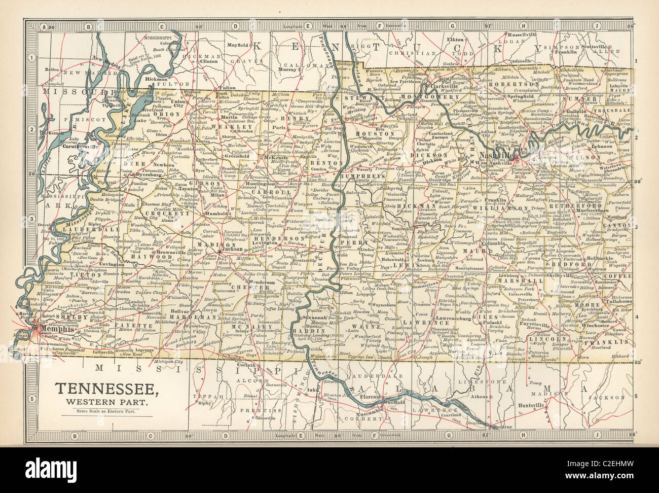
Map of western Tennessee
Image details
File size:
22.5 MB (1.9 MB Compressed download)
Open your image file to the full size using image processing software.
Dimensions:
3403 x 2310 px | 28.8 x 19.6 cm | 11.3 x 7.7 inches | 300dpi
More information:
This image could have imperfections as it’s either historical or reportage.
Map of the western part of Tennessee, circa 1902, from the 10th edition of Encyclopaedia Britannica.
Search stock photos by tags
