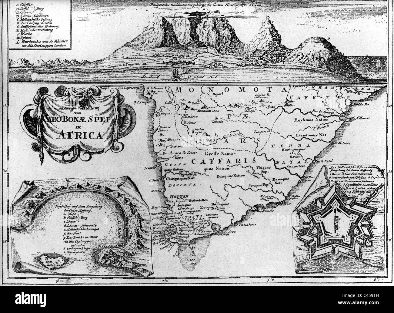
Old map of South Africa
Image details
File size:
17 MB (1.4 MB Compressed download)
Open your image file to the full size using image processing software.
Dimensions:
2858 x 2073 px | 24.2 x 17.6 cm | 9.5 x 6.9 inches | 300dpi
Date taken:
1 January 1700
More information:
This image could have imperfections as it’s either historical or reportage.
Old map of South Africa. Historical map of the Cape of Good Hope (possibly 1710), 01.01.1700-01.01.1899
Search stock photos by tags
